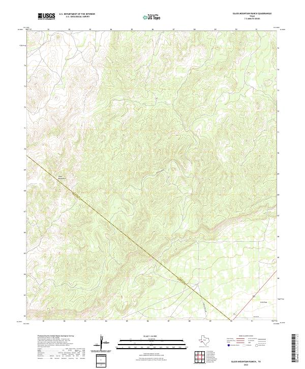
2022 Map of Glass Mountain Ranch
USGS Topo · Published 2022About this map
The Glass Mountains dominate the topographic character of this portion of the Trans-Pecos, where the high ridges of the range descend toward the relatively level expanse of the W B Flats. This 2022 survey captures a transition in the West Texas landscape, showing the drainage of Belding Draw winding through the uplands before the terrain flattens out toward the southeast. The map clearly delineates the administrative boundary between Pecos County and Brewster County, which cuts diagonally across the mountain slopes. Settlement in this arid region remains sparse and ranch-focused, evidenced by the presence of Brooks Ranch Rd and the appropriately named Wagon Rd providing the primary access through the foothills. The contour patterns reveal the intricate network of draws and ridges that define the high desert environment of the Glass Mountain Ranch area.
Find a feature on this map
6 named features on this map. Tap any name to fly to it.
Don’t see what you’re looking for? This feature index may not catch every label — zoom into the map to look around manually.
Map Details
Editions of this 2022 Glass Mountain Ranch Map
This is the sole edition of this map. No revisions or reprints were ever made.
Other maps of this area

1920 · Longfellow
USGS Topo · 1:125,000

1923 · Hess Canyon
USGS Topo · 1:62,500

1923 · Sierra Madera
USGS Topo · 1:62,500

1928 · Comanche Spring
USGS Topo · 1:125,000

1929 · Hovey
USGS Topo · 1:125,000

1954 · Fort Stockton
USGS Topo · 1:250,000

1958 · Fort Stockton
USGS Topo · 1:250,000

1968 · Marathon Gap
USGS Topo · 1:24,000

1968 · Dimple Hills
USGS Topo · 1:24,000

1973 · Fort Stockton
USGS Topo · 1:250,000