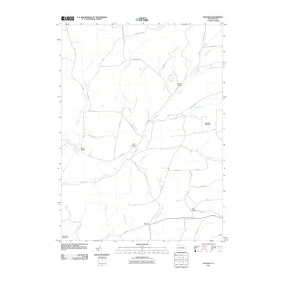
2010 Map of Gleason
USGS Topo · Published 2010About this map
Gleason and the surrounding township appear here as a landscape defined by deep valleys and the winding course of the Tioga River. This 2010 survey illustrates the rural character of the region, where small settlements like Fall Brook are tucked near dramatic geography such as Fallbrook Falls. The topography is anchored by significant heights including Armenia Mountain to the east and Huckleberry Mountain in the south, separated by a network of drainage basins like Sugar Works Run and Coon Creek. Local history is preserved at the North Union Cemetery, while the County Bridge Picnic Area serves as a modern community landmark near the river banks. A dense network of local roads, such as Old Possessions Rd and Soper Hill Rd, provides a clear view of the modern land divisions and rural access points that have evolved from earlier pioneer tracks.
Find a feature on this map
45 named features on this map. Tap any name to fly to it.
Don’t see what you’re looking for? This feature index may not catch every label — zoom into the map to look around manually.
Map Details
Editions of this 2010 Gleason Map
This is the sole edition of this map. No revisions or reprints were ever made.
Other maps of this area

1900 · Tioga
USGS Topo · 1:62,500

1902 · Tioga
USGS Topo · 1:62,500

1925 · Blossburg
USGS Topo · 1:62,500

1927 · Blossburg
USGS Topo · 1:62,500

1931 · Troy
USGS Topo · 1:48,000

1938 · Troy
USGS Topo · 1:62,500

1942 · Canton
USGS Topo · 1:62,500

1944 · Blossburg
USGS Topo · 1:62,500

1944 · Canton
USGS Topo · 1:62,500

1953 · Roseville
USGS Topo · 1:24,000
Featured Places
- Sullivan Township, PA
- Ward Township, PA
- Fall Brook, Ward Township
- Gleason, Union Township
- Union Township, PA