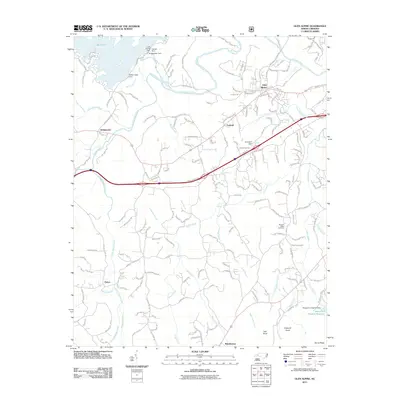
2011 Map of Glen Alpine
USGS Topo · Published 2011About this map
Lake James dominates the northwestern corner of this landscape, its waters contained by an intricate system of engineering including the Paddy Creek Dam, Linville Dam, and Bridgewater Dam. This 2011 survey reveals a complex hydrological network where the Old Catawba River and South Muddy Creek converge south of the community of Bridgewater. The settlement pattern follows the lower elevations between prominent heights like Hall Knob and England Knob, with the town of Glen Alpine serving as a primary hub. Evidence of local community life and genealogy is found at the Advent Cemetery near Parkhill and the Pleasant Ridge Cemetery further south. The map also documents the specialized infrastructure of the region, such as the Broughton Hospital Reservoir and the Henredon Dam on Little Silver Creek, illustrating the management of water resources for both institutional and industrial use in this part of Burke County.
Find a feature on this map
208 named features on this map. Tap any name to fly to it.
Don’t see what you’re looking for? This feature index may not catch every label — zoom into the map to look around manually.
Map Details
Editions of this 2011 Glen Alpine Map
This is the sole edition of this map. No revisions or reprints were ever made.
Other maps of this area

1905 · Morganton
USGS Topo · 1:125,000

1953 · Charlotte
USGS Topo · 1:250,000

1954 · Charlotte
USGS Topo · 1:250,000

1956 · Oak Hill
USGS Topo · 1:24,000

1956 · Benn Knob
USGS Topo · 1:24,000

1956 · Morganton North
USGS Topo · 1:24,000

1956 · Ashford
USGS Topo · 1:24,000

1956 · Morganton South
USGS Topo · 1:24,000

1956 · Linville Falls
USGS Topo · 1:62,500

1956 · Lenoir
USGS Topo · 1:62,500