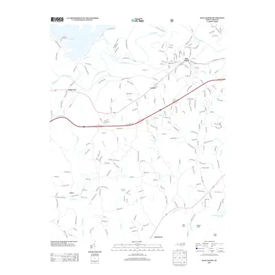
2013 Map of Glen Alpine
USGS Topo · Published 2013About this map
Glen Alpine and the western reaches of the Catawba Valley are captured here just north of the South Mountains. The landscape is defined by the winding course of the Catawba River and its interaction with Lake James, where the community of Bridgewater marks the transition from reservoir to riverbed. This 2013 survey illustrates a rural community anchored by its places of worship, including Corpening Chapel, Snowhill Church, and Mount Olive Church.
Find a feature on this map
233 named features on this map. Tap any name to fly to it.
Don’t see what you’re looking for? This feature index may not catch every label — zoom into the map to look around manually.
Map Details
Editions of this 2013 Glen Alpine Map
This is the sole edition of this map. No revisions or reprints were ever made.
Other maps of this area

1905 · Morganton
USGS Topo · 1:125,000

1953 · Charlotte
USGS Topo · 1:250,000

1954 · Charlotte
USGS Topo · 1:250,000

1956 · Oak Hill
USGS Topo · 1:24,000

1956 · Benn Knob
USGS Topo · 1:24,000

1956 · Morganton North
USGS Topo · 1:24,000

1956 · Ashford
USGS Topo · 1:24,000

1956 · Morganton South
USGS Topo · 1:24,000

1956 · Linville Falls
USGS Topo · 1:62,500

1956 · Lenoir
USGS Topo · 1:62,500