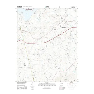
2016 Map of Glen Alpine
USGS Topo · Published 2016About this map
Glen Alpine and the western outskirts of Morganton occupy the foothills where the Catawba River meets the eastern boundary of the Pisgah National Forest. This 2016 survey details a landscape defined by its hydrography, specifically the Old Catawba River and its various tributaries such as Silver Creek and South Muddy Creek. The transition from the developed corridor of Morganton to the rugged terrain of the Blue Ridge mountains is marked by numerous family and community landmarks, particularly the high density of country churches and cemeteries that anchor the rural landscape.
Find a feature on this map
197 named features on this map. Tap any name to fly to it.
Don’t see what you’re looking for? This feature index may not catch every label — zoom into the map to look around manually.
Map Details
Editions of this 2016 Glen Alpine Map
This is the sole edition of this map. No revisions or reprints were ever made.
Other maps of this area

1905 · Morganton
USGS Topo · 1:125,000

1953 · Charlotte
USGS Topo · 1:250,000

1954 · Charlotte
USGS Topo · 1:250,000

1956 · Oak Hill
USGS Topo · 1:24,000

1956 · Benn Knob
USGS Topo · 1:24,000

1956 · Morganton North
USGS Topo · 1:24,000

1956 · Ashford
USGS Topo · 1:24,000

1956 · Morganton South
USGS Topo · 1:24,000

1956 · Linville Falls
USGS Topo · 1:62,500

1956 · Lenoir
USGS Topo · 1:62,500