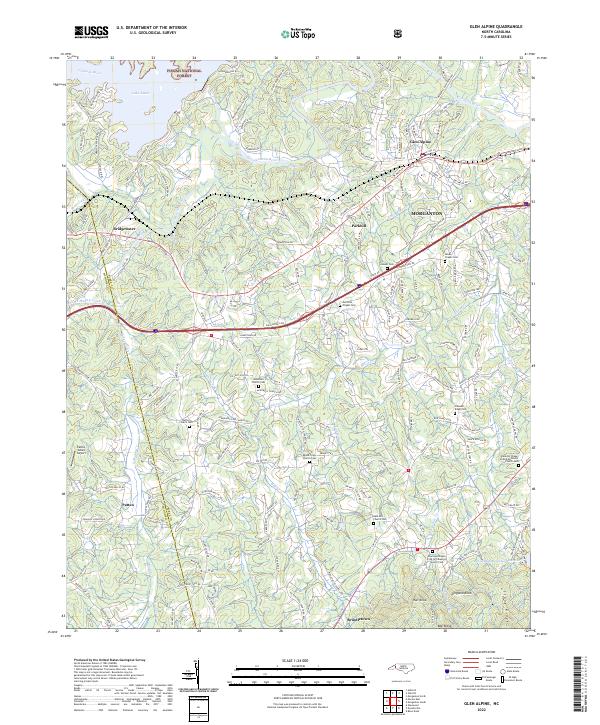
2022 Map of Glen Alpine
USGS Topo · Published 2022About this map
The Catawba River winds through the northern reaches of this Burke County landscape, feeding into the eastern edge of Lake James near the settlement of Bridgewater. This 2022 survey illustrates the transition from the protected woodlands of the Pisgah National Forest to the urban fringes of Morganton. The terrain is defined by a dense network of family and community landmarks, including numerous rural burial grounds such as the Nowlings Chapel Free Will Baptist Church Cem and Dentons Chapel United Methodist Church Cem.
Find a feature on this map
56 named features on this map. Tap any name to fly to it.
Don’t see what you’re looking for? This feature index may not catch every label — zoom into the map to look around manually.
Map Details
Editions of this 2022 Glen Alpine Map
This is the sole edition of this map. No revisions or reprints were ever made.
Other maps of this area

1905 · Morganton
USGS Topo · 1:125,000

1953 · Charlotte
USGS Topo · 1:250,000

1954 · Charlotte
USGS Topo · 1:250,000

1956 · Oak Hill
USGS Topo · 1:24,000

1956 · Benn Knob
USGS Topo · 1:24,000

1956 · Morganton North
USGS Topo · 1:24,000

1956 · Ashford
USGS Topo · 1:24,000

1956 · Morganton South
USGS Topo · 1:24,000

1956 · Linville Falls
USGS Topo · 1:62,500

1956 · Lenoir
USGS Topo · 1:62,500