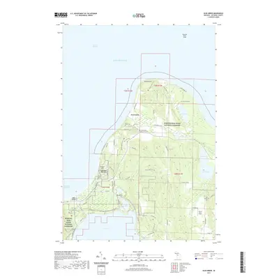
2019 Map of Glen Arbor
USGS Topo · Published 2019About this map
Sleeping Bear Dunes National Lakeshore dominates this coastal landscape where the glacial bluffs of Pyramid Point overlook the Manitou Passage. The settlement patterns here reflect a long history of maritime and agricultural activity, particularly centered around the historic community of Port Oneida and the village of Glen Arbor. Local genealogists will find several burial sites including the Erickson Cem, Miller Cem, and Port Oneida Cem clustered near the lakeshore, while the inland terrain rises toward Prospect Hill. The hydrography of the region is defined by a series of interconnected water bodies such as Glen Lake and Fisher Lake, which drain through the Crystal River into Sleeping Bear Bay. Transport routes like the Valley View Trail and SB Heritage Trail Paved now weave through these protected lands, passing landmarks like the Kelderhouse farmstead.
Find a feature on this map
75 named features on this map. Tap any name to fly to it.
Don’t see what you’re looking for? This feature index may not catch every label — zoom into the map to look around manually.
Map Details
Editions of this 2019 Glen Arbor Map
This is the sole edition of this map. No revisions or reprints were ever made.
Other maps of this area
1954 · Traverse City
USGS Topo · 1:250,000
1954 · Escanaba
USGS Topo · 1:250,000
1954 · Manitowoc
USGS Topo · 1:250,000
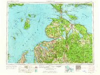
1955 · Cheboygan
USGS Topo · 1:250,000
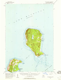
1956 · North Manitou
USGS Topo · 1:62,500
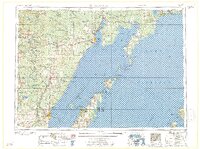
1957 · Escanaba
USGS Topo · 1:250,000
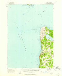
1957 · Empire
USGS Topo · 1:62,500
1957 · Maple City
USGS Topo · 1:62,500
1958 · Escanaba
USGS Topo · 1:250,000
1958 · Cheboygan
USGS Topo · 1:250,000