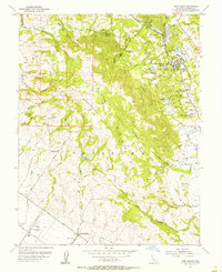
1954 Map of Glen Ellen
USGS Topo · Published 1955About this map
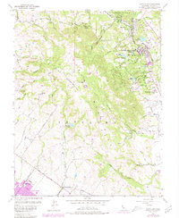
Jack London Ranch sits at the heart of this mid-century landscape, nestled on the eastern slopes of Sonoma Mountain. This 1954 topography reveals a transition between the valley's established institutions and the agricultural reaches of the Petaluma region. To the east, the Sonoma State Home occupies a significant footprint near the Northwestern Pacific RR, while the Hanna Center and Sonoma Golf and Country Club illustrate the evolving leisure and social infrastructure of the Glen Ellen area during the early fifties.
Find a feature on this map
52 named features on this map. Tap any name to fly to it.
Don’t see what you’re looking for? This feature index may not catch every label — zoom into the map to look around manually.
Map Details
Editions of this 1954 Glen Ellen Map
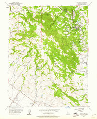
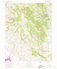
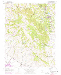
6 editions found
Other maps of this area

1902 · Napa
USGS Topo · 1:125,000

1914 · Petaluma
USGS Topo · 1:62,500

1916 · Mare Island
USGS Topo · 1:62,500

1916 · Santa Rosa
USGS Topo · 1:62,500

1942 · Mare Island
USGS Topo · 1:62,500

1942 · Sonoma
USGS Topo · 1:62,500

1942 · Petaluma
USGS Topo · 1:62,500

1944 · Santa Rosa
USGS Topo · 1:62,500

1947 · Santa Rosa
USGS Topo · 1:250,000

1949 · Santa Rosa
USGS Topo · 1:250,000