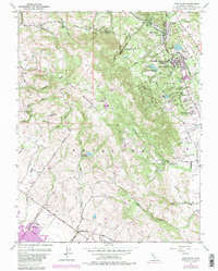
1954 Map of Glen Ellen
USGS Topo · Published 1980About this map
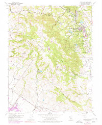
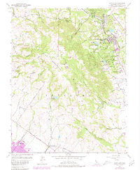
Sonoma Mountain dominates the center of this landscape, serving as a high divide between the valley settlements of Glen Ellen to the northeast and Petaluma to the southwest. The mid-century map documents a region transitioning from its agricultural roots toward preservation and institutional use. Significant cultural landmarks are preserved here, including the Jack London State Historical Park and the Petaluma Adobe State Historical Monument, reflecting the deep literary and Spanish-era history of Sonoma County. The map also captures the sprawling grounds of the Sonoma State Home and its associated water features like Lake Suttonfield and Fern Lake. The drainage patterns are clearly defined, with Adobe Creek and Rodgers Creek flowing toward the Petaluma River, while Sonoma Creek and Asbury Creek carve through the wooded slopes near Waldrue Heights. Small-scale infrastructure like the Old Adobe Sch and the Petaluma Skyranch Airport provide localized points of interest for genealogists and local historians.
Find a feature on this map
44 named features on this map. Tap any name to fly to it.
Don’t see what you’re looking for? This feature index may not catch every label — zoom into the map to look around manually.
Map Details
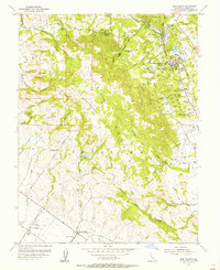
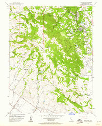
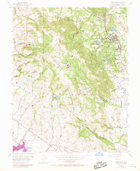
Editions of this 1954 Glen Ellen Map
6 editions found
Other maps of this area

1902 · Napa
USGS Topo · 1:125,000

1914 · Petaluma
USGS Topo · 1:62,500

1916 · Mare Island
USGS Topo · 1:62,500

1916 · Santa Rosa
USGS Topo · 1:62,500

1942 · Mare Island
USGS Topo · 1:62,500

1942 · Sonoma
USGS Topo · 1:62,500

1942 · Petaluma
USGS Topo · 1:62,500

1944 · Santa Rosa
USGS Topo · 1:62,500

1947 · Santa Rosa
USGS Topo · 1:250,000

1949 · Santa Rosa
USGS Topo · 1:250,000