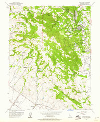
1954 Map of Glen Ellen
USGS Topo · Published 1961About this map
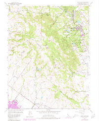
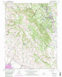
The Jack London Ranch sits on the eastern slopes of the Petaluma Mountains in this mid-century survey of the Valley of the Moon. This period in Sonoma County history shows a landscape defined by significant institutional footprints and agricultural transitions. The Sonoma State Home occupies a large campus near Glen Ellen, while the Hanna Center and Sonoma Golf and Country Club illustrate the evolving use of the valley floor. To the southwest, the Petaluma Adobe State Historical Monument preserves the era of the ranchos, standing in contrast to the nearby Petaluma Skyranch Airport. Researchers will find evidence of earlier rural life through labels like the Mountain Sch (Abandoned) and the Bliss School, alongside the numerous small creeks like Graham Creek and Carriger Creek that descend from Sonoma Mountain.
Find a feature on this map
55 named features on this map. Tap any name to fly to it.
Don’t see what you’re looking for? This feature index may not catch every label — zoom into the map to look around manually.
Map Details
Editions of this 1954 Glen Ellen Map
6 editions found
Other maps of this area

1902 · Napa
USGS Topo · 1:125,000

1914 · Petaluma
USGS Topo · 1:62,500

1916 · Mare Island
USGS Topo · 1:62,500

1916 · Santa Rosa
USGS Topo · 1:62,500

1942 · Mare Island
USGS Topo · 1:62,500

1942 · Sonoma
USGS Topo · 1:62,500

1942 · Petaluma
USGS Topo · 1:62,500

1944 · Santa Rosa
USGS Topo · 1:62,500

1947 · Santa Rosa
USGS Topo · 1:250,000

1949 · Santa Rosa
USGS Topo · 1:250,000