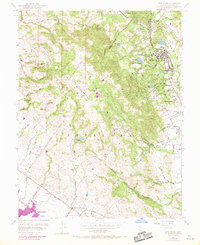
1954 Map of Glen Ellen
USGS Topo · Published 1969About this map
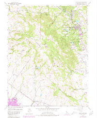
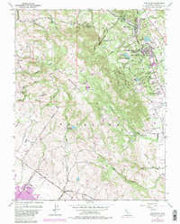
Sonoma Mountain dominates the center of this landscape, its slopes giving rise to numerous drainages including Carriger Creek, Copeland Creek, and Asbury Creek. The eastern valleys are anchored by the institutional presence of the Sonoma State Home and Hanna Center, while the north features the personal legacy of the Jack London Ranch. The 1968 photorevisions, noted in purple, highlight the growth of Petaluma in the southwest corner and Glen Ellen in the north, showing residential expansion near the Petaluma Skyranch Airport.
Find a feature on this map
43 named features on this map. Tap any name to fly to it.
Don’t see what you’re looking for? This feature index may not catch every label — zoom into the map to look around manually.
Map Details
Editions of this 1954 Glen Ellen Map
6 editions found
Other maps of this area

1902 · Napa
USGS Topo · 1:125,000

1914 · Petaluma
USGS Topo · 1:62,500

1916 · Mare Island
USGS Topo · 1:62,500

1916 · Santa Rosa
USGS Topo · 1:62,500

1942 · Mare Island
USGS Topo · 1:62,500

1942 · Sonoma
USGS Topo · 1:62,500

1942 · Petaluma
USGS Topo · 1:62,500

1944 · Santa Rosa
USGS Topo · 1:62,500

1947 · Santa Rosa
USGS Topo · 1:250,000

1949 · Santa Rosa
USGS Topo · 1:250,000