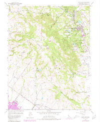
1954 Map of Glen Ellen
USGS Topo · Published 1980About this map
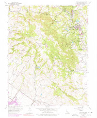
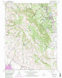
Sonoma Mountain dominates the center of this 1954 landscape, acting as a high divide between the valley of Sonoma Creek and the southern reaches of the Petaluma Mountains. The northeastern corner is anchored by the community of Glen Ellen, which sits adjacent to the sprawling grounds of the Sonoma State Home and the memorial landscape of Jack London State Historical Park. The rail corridor of the Northwestern Pacific follows the valley floor, connecting these institutions and small settlements like Waldrue Heights.
Find a feature on this map
45 named features on this map. Tap any name to fly to it.
Don’t see what you’re looking for? This feature index may not catch every label — zoom into the map to look around manually.
Map Details
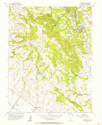
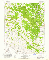
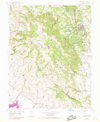
Editions of this 1954 Glen Ellen Map
6 editions found
Other maps of this area

1902 · Napa
USGS Topo · 1:125,000

1914 · Petaluma
USGS Topo · 1:62,500

1916 · Mare Island
USGS Topo · 1:62,500

1916 · Santa Rosa
USGS Topo · 1:62,500

1942 · Mare Island
USGS Topo · 1:62,500

1942 · Sonoma
USGS Topo · 1:62,500

1942 · Petaluma
USGS Topo · 1:62,500

1944 · Santa Rosa
USGS Topo · 1:62,500

1947 · Santa Rosa
USGS Topo · 1:250,000

1949 · Santa Rosa
USGS Topo · 1:250,000