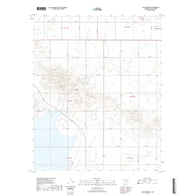
2018 Map of Glen Mountains
USGS Topo · Published 2018About this map
Glen Mountains dominate the central topography of this Kiowa County landscape, where the granite peaks rise above the surrounding plains. To the northeast, the small settlement of Cooperton sits at the intersection of Main St and N2300 Rd, serving as a focal point for the surrounding rural section lines. The southwestern portion of the map is defined by the expansive waters of Tom Steed Reservoir, which covers significant acreage in Township 3 North. The drainage of Glen Cr winds through the hills, illustrating the natural watercourses that define this part of the Wichita Mountains range. The map clearly delineates the Rectangular Survey System grid, with numerous section roads such as E1500 Rd and N2260 Rd providing access to the interior of the range.
Find a feature on this map
29 named features on this map. Tap any name to fly to it.
Don’t see what you’re looking for? This feature index may not catch every label — zoom into the map to look around manually.
Map Details
Editions of this 2018 Glen Mountains Map
This is the sole edition of this map. No revisions or reprints were ever made.
Other maps of this area

1949 · Cooperton
USGS Topo · 1:62,500

1950 · Snyder
USGS Topo · 1:62,500

1955 · Lawton
USGS Topo · 1:250,000

1956 · Glen Mountains
USGS Topo · 1:24,000

1956 · Cooperton
USGS Topo · 1:24,000

1956 · Odetta
USGS Topo · 1:24,000

1956 · Unap Mountain
USGS Topo · 1:24,000

1956 · Snyder
USGS Topo · 1:24,000

1956 · Rainy Mountain Creek
USGS Topo · 1:24,000

1956 · Snyder
USGS Topo · 1:62,500