
1946 Map of Glen Union
USGS Topo · Published 1964About this map
The West Branch Susquehanna River carves a deep, winding path through this central Pennsylvania landscape, serving as the primary corridor for movement and settlement. Small communities like Glen Union and Whetham are positioned along the river's banks, connected by the Bucktail Trail and the Pennsylvania Railroad line. The surrounding terrain is defined by a dense network of steep hollows and runs, including Rattlesnake Run and Smokestack Hollow, which feed into the main river valley.
Find a feature on this map
42 named features on this map. Tap any name to fly to it.
Don’t see what you’re looking for? This feature index may not catch every label — zoom into the map to look around manually.
Map Details
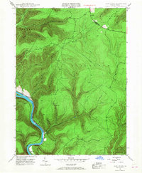
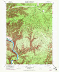
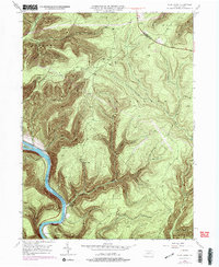
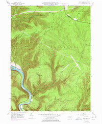
Editions of this 1946 Glen Union Map
5 editions found
Other maps of this area

1921 · Howard
USGS Topo · 1:48,000

1921 · Lock Haven
USGS Topo · 1:62,500

1923 · Howard
USGS Topo · 1:62,500

1923 · Lock Haven
USGS Topo · 1:62,500

1937 · Waterville
USGS Topo · 1:48,000

1943 · Hyner
USGS Topo · 1:62,500

1943 · Waterville
USGS Topo · 1:62,500

1944 · Lock Haven
USGS Topo · 1:62,500

1946 · Young Womans Creek
USGS Topo · 1:24,000

1946 · Renovo East
USGS Topo · 1:62,500
Featured Places
- Gallagher Township, PA
- Lucullus, McHenry Township
- Ritchie, Grugan Township
- Glen Union, Grugan Township
- McHenry Township, PA