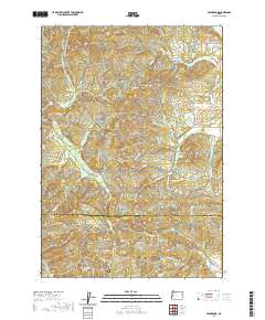
2020 Map of Glenbrook
USGS Topo · Published 2020About this map
Glenbrook and the surrounding timberlands of the Coast Range are defined by the industry and terrain of the Alsea River S Fork drainage. In the northern reaches of the quadrangle, the presence of the Hull-Oakes Log Pond and Glenbrook Log Pond highlights the region's enduring connection to logging operations. The landscape is marked by significant elevations like Green Peak and Walters Mtn, while the Alsea River S Fork and its tributaries, including Hammer Cr and Hawley Cr, carve through the deep canyons.
Find a feature on this map
62 named features on this map. Tap any name to fly to it.
Don’t see what you’re looking for? This feature index may not catch every label — zoom into the map to look around manually.
Map Details
Editions of this 2020 Glenbrook Map
This is the sole edition of this map. No revisions or reprints were ever made.
Other maps of this area

1909 · Elmira
USGS Topo · 1:62,500

1911 · Monroe
USGS Topo · 1:31,680

1911 · Inavale
USGS Topo · 1:31,680

1922 · Monroe
USGS Topo · 1:62,500

1922 · Elmira
USGS Topo · 1:62,500

1939 · Monroe
USGS Topo · 1:62,500

1941 · Blachly
USGS Topo · 1:62,500

1942 · Alsea
USGS Topo · 1:62,500

1942 · Elmira
USGS Topo · 1:62,500

1942 · Blachly
USGS Topo · 1:62,500