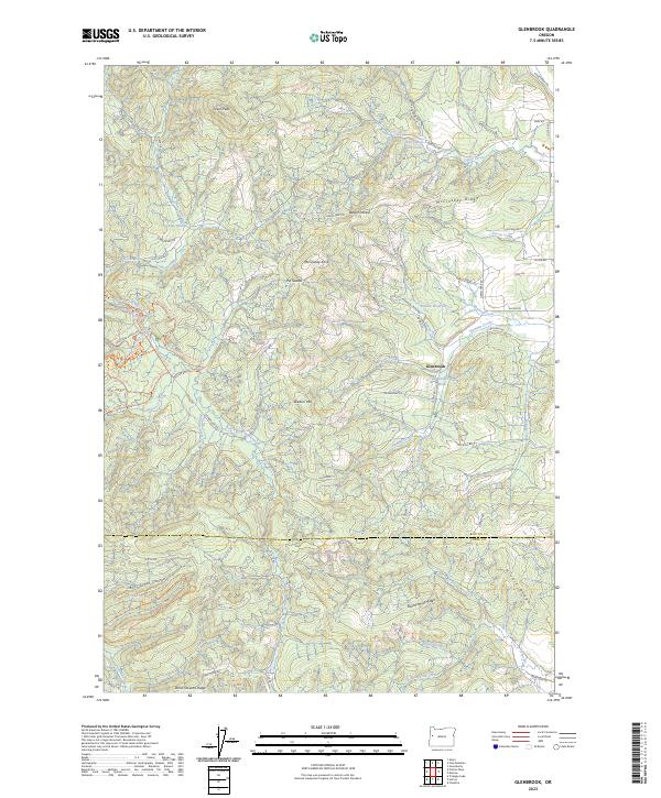
2023 Map of Glenbrook
USGS Topo · Published 2023About this map
The timber and water resources of the Benton and Lane County border define this landscape near the settlement of Glenbrook. Historically significant for its local industry, the area features the Hull-Oakes Log Pond and Glenbrook Log Pond, reflecting the long-standing importance of milling operations in the coastal range foothills. The terrain is marked by high elevations such as Green Peak and Walters Mtn, with a dense network of forest access roads and fire trails like the Alsea Falls-Big Fir Trl and Dutchman Trl winding through the steep drainages.
Find a feature on this map
88 named features on this map. Tap any name to fly to it.
Don’t see what you’re looking for? This feature index may not catch every label — zoom into the map to look around manually.
Map Details
Editions of this 2023 Glenbrook Map
This is the sole edition of this map. No revisions or reprints were ever made.
Other maps of this area

1909 · Elmira
USGS Topo · 1:62,500

1911 · Monroe
USGS Topo · 1:31,680

1911 · Inavale
USGS Topo · 1:31,680

1922 · Monroe
USGS Topo · 1:62,500

1922 · Elmira
USGS Topo · 1:62,500

1939 · Monroe
USGS Topo · 1:62,500

1941 · Blachly
USGS Topo · 1:62,500

1942 · Alsea
USGS Topo · 1:62,500

1942 · Elmira
USGS Topo · 1:62,500

1942 · Blachly
USGS Topo · 1:62,500