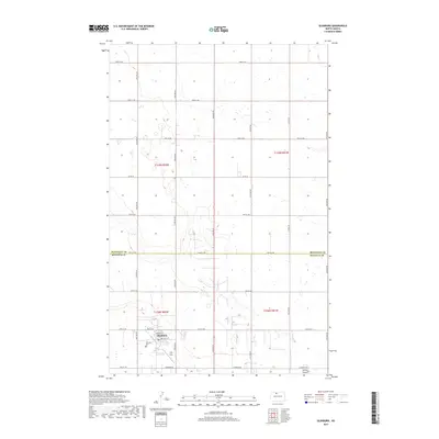
2017 Map of Glenburn
USGS Topo · Published 2017About this map
Glenburn serves as the primary hub in this portion of North Dakota, situated near the southwestern corner of the sheet. The town is structured around a traditional grid featuring Main St, Raymond St, and Oakley Dr, reflecting a localized urban center surrounded by the expansive agricultural layout of Renville County. Just south of the town center, the Fairview Cem provides a point of interest for genealogists, while the small settlement of Judy Strip sits adjacent to the primary community footprint.
Find a feature on this map
22 named features on this map. Tap any name to fly to it.
Don’t see what you’re looking for? This feature index may not catch every label — zoom into the map to look around manually.
Map Details
Editions of this 2017 Glenburn Map
This is the sole edition of this map. No revisions or reprints were ever made.
Other maps of this area
1948 · Lansford
USGS Topo · 1:62,500
1948 · Burlington
USGS Topo · 1:62,500
1949 · Glenburn
USGS Topo · 1:24,000
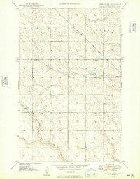
1949 · Deering NW
USGS Topo · 1:24,000
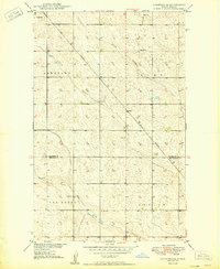
1949 · Lansford SE
USGS Topo · 1:24,000
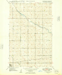
1949 · Lansford NE
USGS Topo · 1:24,000
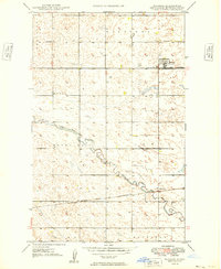
1949 · Maxbass
USGS Topo · 1:24,000
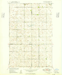
1949 · Eckman SE
USGS Topo · 1:24,000
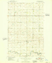
1949 · Eckman
USGS Topo · 1:24,000
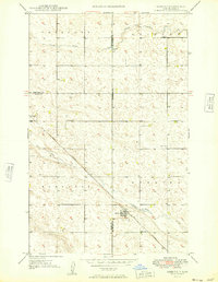
1949 · Deering
USGS Topo · 1:24,000