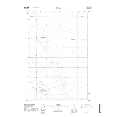
2020 Map of Glenburn
USGS Topo · Published 2020About this map
Glenburn serves as the focal point of this agricultural landscape in north-central North Dakota, situated near the boundary where Bottineau Co and Renville Co meet. The settlement layout is defined by its central grid, featuring Main St and Oakley Dr, while the outlying area is predominantly organized by the Public Land Survey System. Local history is anchored at the southern edge of the town by Fairview Cem and the Saint Philomena Catholic Cem. East of the village, the small community of Judy Strip sits amidst the prairie. The surrounding terrain is characterized by the meandering Spring Coulee and a network of section-line roads such as 78th St NW and 22nd Ave NW, illustrating the deep-rooted ranching and farming patterns of the region.
Find a feature on this map
30 named features on this map. Tap any name to fly to it.
Don’t see what you’re looking for? This feature index may not catch every label — zoom into the map to look around manually.
Map Details
Editions of this 2020 Glenburn Map
This is the sole edition of this map. No revisions or reprints were ever made.
Other maps of this area

1948 · Lansford
USGS Topo · 1:62,500

1948 · Burlington
USGS Topo · 1:62,500

1949 · Glenburn
USGS Topo · 1:24,000

1949 · Deering NW
USGS Topo · 1:24,000

1949 · Lansford SE
USGS Topo · 1:24,000

1949 · Lansford NE
USGS Topo · 1:24,000

1949 · Maxbass
USGS Topo · 1:24,000

1949 · Eckman SE
USGS Topo · 1:24,000

1949 · Eckman
USGS Topo · 1:24,000

1949 · Deering
USGS Topo · 1:24,000