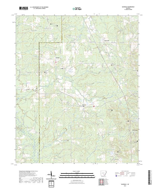
2024 Map of Glendale
USGS Topo · Published 2024About this map
The Cleveland and Lincoln County line bisects this landscape, marking a rural territory where timbered tracts and local waterways define the settlement patterns. Glendale and Palmyra serve as central nodes for the surrounding agricultural and forest lands, connected by a network of local routes like State Hwy 54 and State Hwy 212. The presence of numerous family and community burial grounds, such as Antioch Cem and Shady Grove Cem, indicates a deeply rooted residential history.
Find a feature on this map
84 named features on this map. Tap any name to fly to it.
Don’t see what you’re looking for? This feature index may not catch every label — zoom into the map to look around manually.
Map Details
Editions of this 2024 Glendale Map
This is the sole edition of this map. No revisions or reprints were ever made.
Other maps of this area

1935 · Feenyville
USGS Topo · 1:62,500

1935 · Noble Lake
USGS Topo · 1:62,500

1948 · Helena
USGS Topo · 1:250,000

1950 · Helena
USGS Topo · 1:250,000

1953 · Greenwood
USGS Topo · 1:250,000

1953 · El Dorado
USGS Topo · 1:250,000

1955 · Helena
USGS Topo · 1:250,000

1955 · Little Rock
USGS Topo · 1:250,000

1956 · Little Rock
USGS Topo · 1:250,000

1956 · Greenwood
USGS Topo · 1:250,000