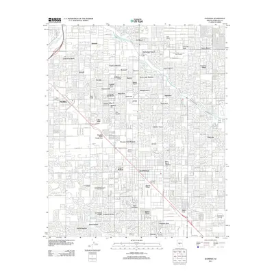
2011 Map of Glendale
USGS Topo · Published 2011About this map
Peoria and Glendale anchor this 2011 survey, showing the dense residential and educational landscape of the northwest Phoenix valley. The map documents significant institutional footprints, including the Arizona State University West Campus and Grand Canyon University, alongside specialized sites like the Airscrew Performance Ultralight Flightpark. Residential developments are minutely detailed, with named neighborhoods such as Cottonwood Ranch, Weedville, and Thunderbird Palms II filling the grid between major thoroughfares like W Cactus Rd and W Northern Ave.
Find a feature on this map
116 named features on this map. Tap any name to fly to it.
Don’t see what you’re looking for? This feature index may not catch every label — zoom into the map to look around manually.
Map Details
Editions of this 2011 Glendale Map
This is the sole edition of this map. No revisions or reprints were ever made.
Other maps of this area

1912 · Phoenix
USGS Topo · 1:62,500

1914 · Phoenix
USGS Topo · 1:62,500

1946 · Avondale
USGS Topo · 1:62,500

1948 · Cashion
USGS Topo · 1:62,500

1952 · Phoenix
USGS Topo · 1:24,000

1952 · Fowler
USGS Topo · 1:24,000

1952 · Phoenix
USGS Topo · 1:62,500

1954 · Phoenix
USGS Topo · 1:250,000

1957 · Phoenix
USGS Topo · 1:250,000

1957 · Calderwood Butte
USGS Topo · 1:24,000