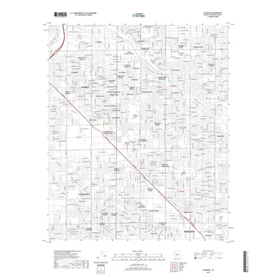
2018 Map of Glendale
USGS Topo · Published 2018About this map
The urban and suburban landscape of Peoria and Glendale is defined by a dense grid of residential developments and academic institutions. Educational centers are prominent throughout the region, ranging from the Thunderbird School of Global Management and Arizona State Univ West Campus in the north to Glendale Community College and Grand Canyon Univ further south. The map documents numerous named residential enclaves, such as Royal Estates West, Cheyenne Village, and Marlborough Meadows, illustrating the modern expansion of the Phoenix metropolitan area.
Find a feature on this map
67 named features on this map. Tap any name to fly to it.
Don’t see what you’re looking for? This feature index may not catch every label — zoom into the map to look around manually.
Map Details
Editions of this 2018 Glendale Map
This is the sole edition of this map. No revisions or reprints were ever made.
Other maps of this area

1912 · Phoenix
USGS Topo · 1:62,500

1914 · Phoenix
USGS Topo · 1:62,500

1946 · Avondale
USGS Topo · 1:62,500

1948 · Cashion
USGS Topo · 1:62,500

1952 · Phoenix
USGS Topo · 1:24,000

1952 · Fowler
USGS Topo · 1:24,000

1952 · Phoenix
USGS Topo · 1:62,500

1954 · Phoenix
USGS Topo · 1:250,000

1957 · Phoenix
USGS Topo · 1:250,000

1957 · Calderwood Butte
USGS Topo · 1:24,000