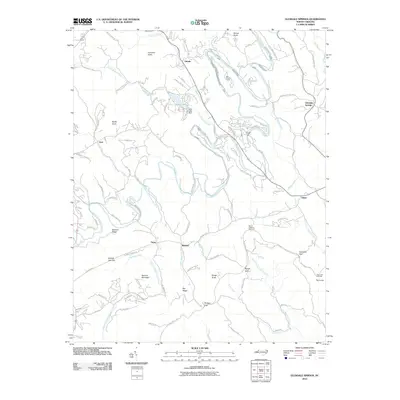
2010 Map of Glendale Springs
USGS Topo · Published 2010About this map
The South Fork New River carves a winding path through this corner of Ashe County, where early 21st-century residential developments like Falcon Ridge Dr and River Front Ridge Rd sit alongside long-established mountain hamlets. Small settlements including Glendale Springs, Idlewild, and Obids serve as local anchors, while the terrain is defined by a series of prominent gaps and knobs such as Phillips Gap, Benge Gap, and Nettle Knob.
Find a feature on this map
95 named features on this map. Tap any name to fly to it.
Don’t see what you’re looking for? This feature index may not catch every label — zoom into the map to look around manually.
Map Details
Editions of this 2010 Glendale Springs Map
This is the sole edition of this map. No revisions or reprints were ever made.
Other maps of this area

1889 · Wilkesboro
USGS Topo · 1:125,000

1891 · Wilkesboro
USGS Topo · 1:125,000

1893 · Cranberry
USGS Topo · 1:125,000

1895 · Cranberry
USGS Topo · 1:125,000

1899 · Cranberry
USGS Topo · 1:125,000

1902 · Cranberry
USGS Topo · 1:125,000

1936 · Blowing Rock
USGS Topo · 1:48,000

1942 · Blowing Rock
USGS Topo · 1:62,500

1953 · Winston-Salem
USGS Topo · 1:250,000

1955 · Winston-Salem
USGS Topo · 1:250,000