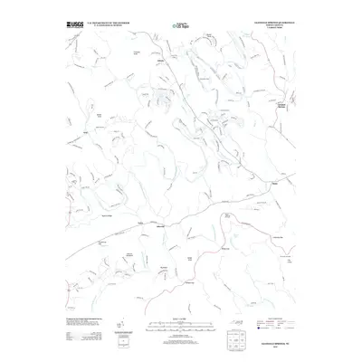
2013 Map of Glendale Springs
USGS Topo · Published 2013About this map
Glendale Springs and the surrounding Blue Ridge high country of Ashe County are defined by the winding course of the S Fork New River. This 2013 survey documents the landscape where family-named peaks like Frenches Knob and Henson Mountain overlook traditional mountain settlements. Small crossroads communities including Othello, Idlewild, and Obids dot the map, connected by rural routes such as Phillips Gap Rd and Idlewild Mt Est. The eastern edge of the quadrangle is traced by the Blue Ridge Parkway, which offers access to Mount Jefferson Overlook, The Lump Overlook, and the cascading Betseys Rock Falls. This modern data set captures the continued rural character of the region, where numerous named knobs and ridges like Nettle Knob and Nathens Ridge frame a network of tributary creeks, including Beaver Cr and Pine Swamp Cr, illustrating the enduring spatial patterns of these Appalachian communities.
Find a feature on this map
168 named features on this map. Tap any name to fly to it.
Don’t see what you’re looking for? This feature index may not catch every label — zoom into the map to look around manually.
Map Details
Editions of this 2013 Glendale Springs Map
This is the sole edition of this map. No revisions or reprints were ever made.
Other maps of this area

1889 · Wilkesboro
USGS Topo · 1:125,000

1891 · Wilkesboro
USGS Topo · 1:125,000

1893 · Cranberry
USGS Topo · 1:125,000

1895 · Cranberry
USGS Topo · 1:125,000

1899 · Cranberry
USGS Topo · 1:125,000

1902 · Cranberry
USGS Topo · 1:125,000

1936 · Blowing Rock
USGS Topo · 1:48,000

1942 · Blowing Rock
USGS Topo · 1:62,500

1953 · Winston-Salem
USGS Topo · 1:250,000

1955 · Winston-Salem
USGS Topo · 1:250,000