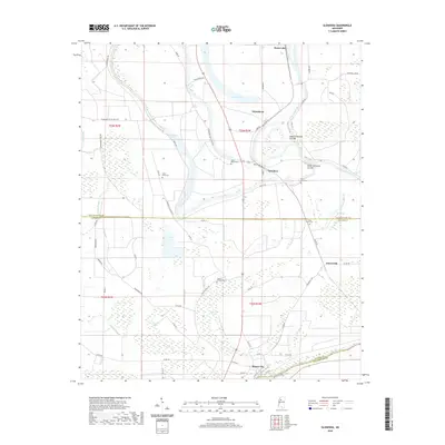
2020 Map of Glendora
USGS Topo · Published 2020About this map
Glendora and Minter City anchor this landscape along the border of Tallahatchie and Leflore counties, where the winding Tallahatchie River defines the local geography. The river's historical meanders are visible through features like the Upper Glendora Cut-Off and Lower Glendora Cut-Off, illustrating the engineering efforts to manage water flow in this delta region. The area is dotted with several notable cemeteries, including Saint Peter Cem, Saint Marys Cem, and Saint Clare Cem, which serve as vital landmarks for genealogists and local historians tracking family histories in the vicinity of Whitehead and Somerville. To the north, the expanse of Swan Lake and the Black Bayou drainage system highlight the wetland characteristics of the terrain. The presence of the Buford Landing Strip and a network of plantation roads, such as Equien Plantation Rd, reflects the agricultural infrastructure that has long sustained the communities here.
Find a feature on this map
68 named features on this map. Tap any name to fly to it.
Don’t see what you’re looking for? This feature index may not catch every label — zoom into the map to look around manually.
Map Details
Editions of this 2020 Glendora Map
This is the sole edition of this map. No revisions or reprints were ever made.
Other maps of this area

1931 · Schlater
USGS Topo · 1:48,000

1931 · Sumner
USGS Topo · 1:48,000

1932 · Philipp
USGS Topo · 1:48,000

1934 · Schlater
USGS Topo · 1:62,500

1935 · Sumner
USGS Topo · 1:62,500

1935 · Philipp
USGS Topo · 1:62,500

1936 · Greenwood
USGS Topo · 1:62,500

1939 · Schlater
USGS Topo · 1:62,500

1939 · Sumner
USGS Topo · 1:62,500

1939 · Philipp
USGS Topo · 1:62,500