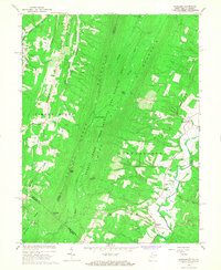
1965 Map of Glengary
USGS Topo · Published 1967About this map
Sleepy Creek Mountain dominates the center of this mid-century survey, creating a formidable ridge that separates the rural settlements of Shanghai and Ganotown to the east from the high valleys of Warm Springs Ridge to the west. The landscape reflects a deeply wooded and topographically controlled region where human activity is concentrated along the foothills and creek beds. The Sleepy Creek Public Hunting and Fishing Area covers much of the central terrain, while small community hubs like Glengary and Oakland serve as anchors for local life.
Find a feature on this map
43 named features on this map. Tap any name to fly to it.
Don’t see what you’re looking for? This feature index may not catch every label — zoom into the map to look around manually.
Map Details
Editions of this 1965 Glengary Map
2 editions found
Historical Maps of Glengary Through Time
9 maps found

1914 Gerrardstown
Berkeley County, WV

1916 Gerrardstown
Berkeley County, WV
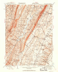
1937 Gerrardstown
Berkeley County, WV
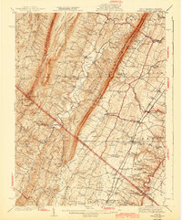
1943 Gerrardstown
Berkeley County, WV
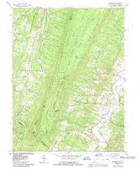
1965 Glengary
Berkeley County, WV
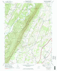
1972 Tablers Station
Berkeley County, WV
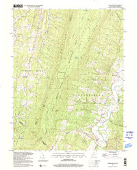
1996 Glengary
Berkeley County, WV
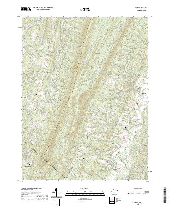
2023 Glengary
Berkeley County, WV
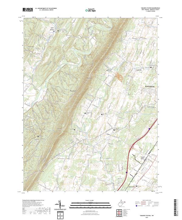
2023 Tablers Station
Berkeley County, WV