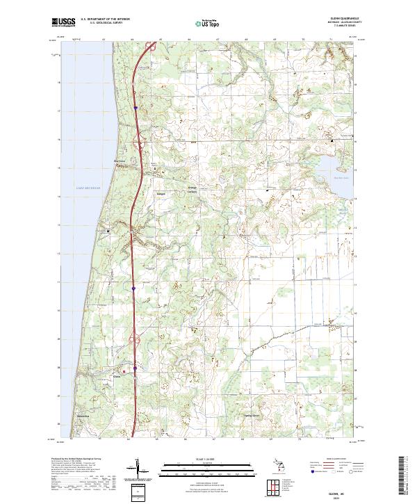
2023 Map of Glenn
USGS Topo · Published 2023About this map
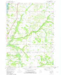
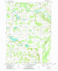
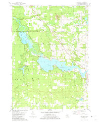
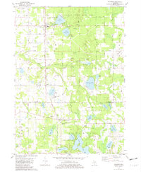
The eastern shore of Lake Michigan provides the backdrop for this study of Allegan County, where agricultural lands and small settlements like Ganges and Glenn have persisted for generations. The landscape is defined by the steady grid of county roads and several small waterways, including Peach Orchard Creek and Plummerville Creek, which drain toward the lake. For genealogists, the map is particularly useful as it precisely identifies local burial grounds such as Taylor Cem, Loomis Cem, and Fennville Cem.
Find a feature on this map
52 named features on this map. Tap any name to fly to it.
Don’t see what you’re looking for? This feature index may not catch every label — zoom into the map to look around manually.
Map Details
Editions of this 2023 Glenn Map
This is the sole edition of this map. No revisions or reprints were ever made.
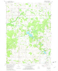
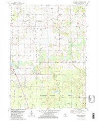
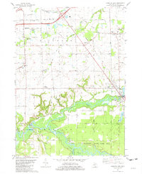
Historical Maps of Pier Cove Through Time
20 maps found
1981 Burnips
Allegan County, MI

1981 Glenn
Allegan County, MI
1981 Hamilton East
Allegan County, MI
1981 Hamilton West
Allegan County, MI
1981 Lacota
Allegan County, MI
1981 Merson
Allegan County, MI
1981 Millgrove
Allegan County, MI
1981 Pullman
Allegan County, MI
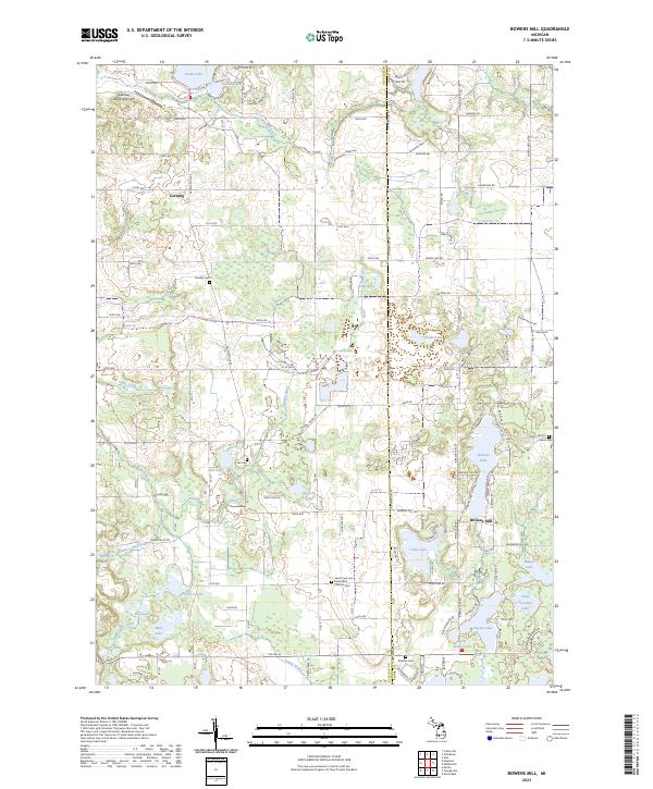
1982 Bowens Mill
Allegan County, MI
1982 Orangeville
Allegan County, MI
2023 Bowens Mill
Allegan County, MI
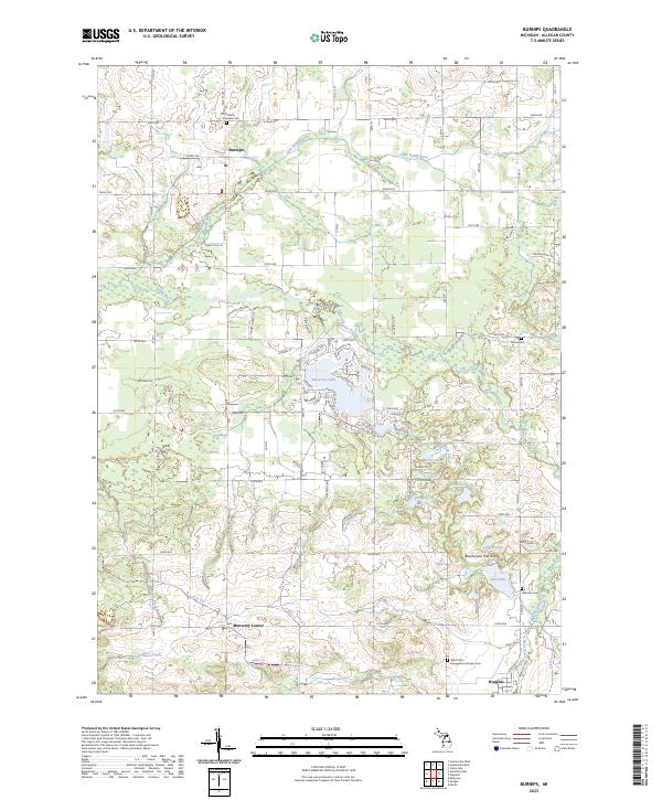
2023 Burnips
Allegan County, MI
2023 Glenn
Allegan County, MI
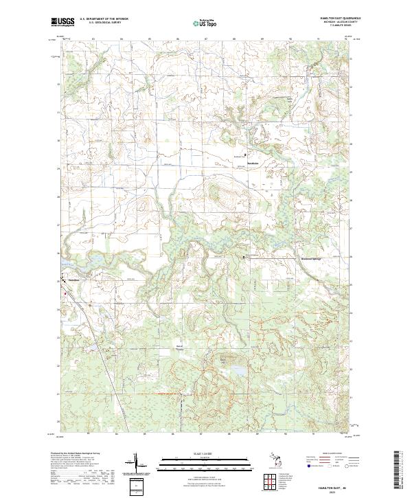
2023 Hamilton East
Allegan County, MI

2023 Hamilton West
Allegan County, MI
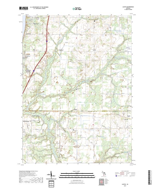
2023 Lacota
Allegan County, MI
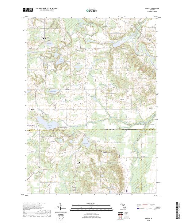
2023 Merson
Allegan County, MI
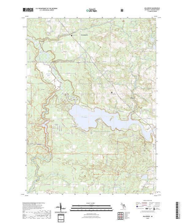
2023 Millgrove
Allegan County, MI
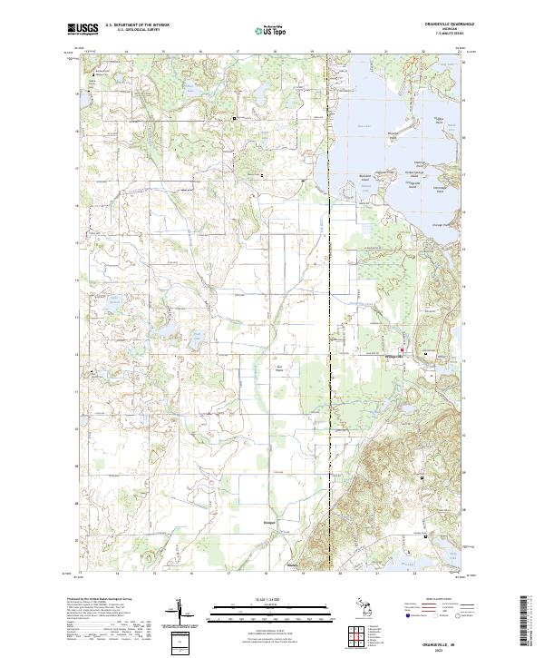
2023 Orangeville
Allegan County, MI
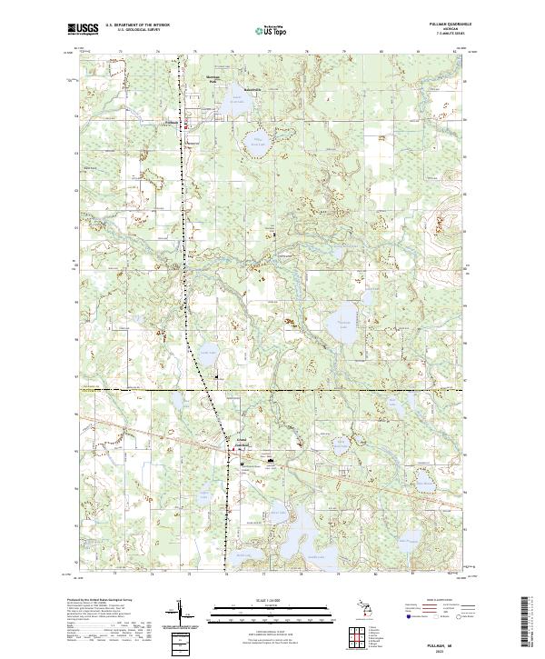
2023 Pullman
Allegan County, MI
Featured Locations
- Casco Township, MI
- Saugatuck Township, MI
- Ganges Township, MI
- Manlius Township, MI
- Ganges, Ganges Township