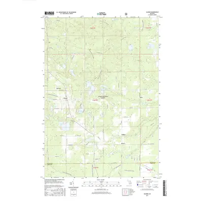
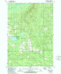
2017 Map of Glennie
USGS Topo · Published 2017About this map
The Huron National Forest provides the backdrop for this part of Alcona County, where a network of small settlements and inland waters defines the landscape. The community of Glennie sits at the intersection of Bamfield Rd and Glennie Rd, serving as a central point for the surrounding rural area. Nearby, the Glennie Cem and the small hamlet of Cheviers along Body Rd offer specific points of interest for genealogists tracing local families.
Find a feature on this map
75 named features on this map. Tap any name to fly to it.
Don’t see what you’re looking for? This feature index may not catch every label — zoom into the map to look around manually.
Map Details
Editions of this 2017 Glennie Map
This is the sole edition of this map. No revisions or reprints were ever made.
Other maps of this area

1954 · Tawas City
USGS Topo · 1:250,000

1958 · Tawas City
USGS Topo · 1:250,000
1959 · Tawas City
USGS Topo · 1:62,500
1959 · Glennie
USGS Topo · 1:62,500
1968 · Hale
USGS Topo · 1:24,000
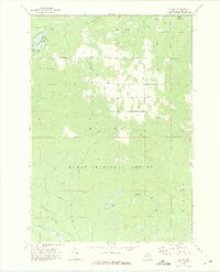
1972 · Curran
USGS Topo · 1:24,000
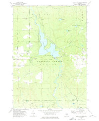
1972 · Alcona Dam Pond
USGS Topo · 1:24,000
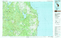
1983 · Hubbard Lake
USGS Topo · 1:100,000
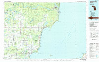
1984 · Tawas City
USGS Topo · 1:100,000
1989 · Barton City
USGS Topo · 1:24,000