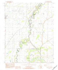
1983 Map of Glennonville
USGS Topo · Published 1984About this map
St Francis River meanders through the heart of this landscape, defining the boundary between Butler and Dunklin counties in the Missouri Bootheel. The waterway's complex history is visible in features like the Old Channel and the Wilhelmina Cutoff, reflecting efforts to manage the river's flow through the low-lying terrain. The eastern portion of the sheet is dominated by the Wilhelmina State Forest, while several small agricultural communities dot the surrounding plains.
Find a feature on this map
16 named features on this map. Tap any name to fly to it.
Don’t see what you’re looking for? This feature index may not catch every label — zoom into the map to look around manually.
Map Details
Editions of this 1983 Glennonville Map
This is the sole edition of this map. No revisions or reprints were ever made.
Other maps of this area
1935 · Rector
USGS Topo · 1:62,500
1935 · Harviell
USGS Topo · 1:62,500
1940 · Valley Ridge
USGS Topo · 1:62,500
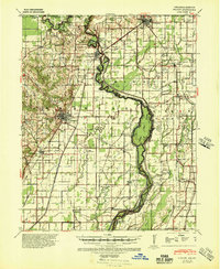
1940 · Piggott
USGS Topo · 1:62,500
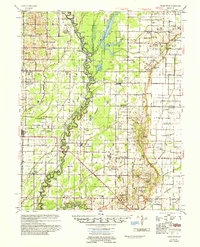
1956 · Valley Ridge
USGS Topo · 1:62,500
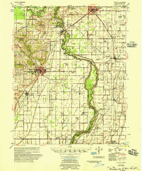
1956 · Piggott
USGS Topo · 1:62,500

1957 · Poplar Bluff
USGS Topo · 1:250,000
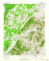
1958 · Rector
USGS Topo · 1:62,500
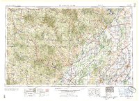
1959 · Poplar Bluff
USGS Topo · 1:250,000
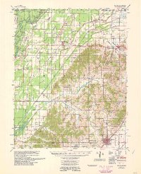
1960 · Rector
USGS Topo · 1:62,500