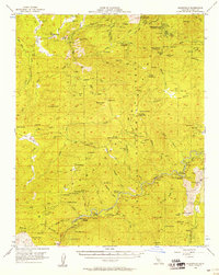
1956 Map of Glennville
USGS Topo · Published 1958About this map
Glennville and the southern Sierra Nevada foothills are captured here in the mid-1950s, a landscape defined by the rugged descent of the Kern River and the legacy of early California mining. Gold-era history is prominent through the inclusion of the Petersburg (Site) and the Keysville Mine, while the former county seat of Havilah sits near the southern boundary. These settlements were established during the mid-19th-century rushes, and by this survey, they appear alongside mid-century infrastructure like the Borel Powerhouse and the Davis Guard Sta.
Find a feature on this map
91 named features on this map. Tap any name to fly to it.
Don’t see what you’re looking for? This feature index may not catch every label — zoom into the map to look around manually.
Map Details
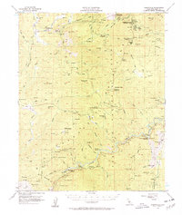
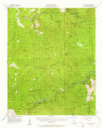
Editions of this 1956 Glennville Map
3 editions found
Other maps of this area

1906 · Kernville
USGS Topo · 1:125,000

1908 · Kernville
USGS Topo · 1:125,000

1914 · Caliente
USGS Topo · 1:125,000

1915 · Mojave
USGS Topo · 1:125,000

1920 · Delonagha
USGS Topo · 1:62,500

1926 · Glennville
USGS Topo · 1:62,500

1932 · Woody
USGS Topo · 1:62,500

1935 · Woody
USGS Topo · 1:62,500

1936 · White River
USGS Topo · 1:62,500

1936 · Tobias Peak
USGS Topo · 1:125,000