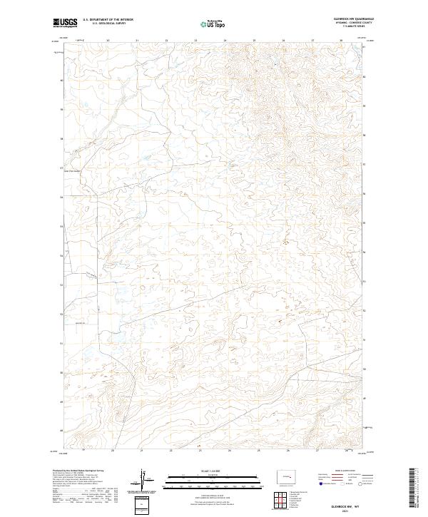
2021 Map of Glenrock NW
USGS Topo · Published 2021About this map
Lone Tree Gulch cuts through the high plains of Converse County in this recent topographical survey. The landscape is defined by the ephemeral flow of Sand Cr in the northeast and a network of rural routes including Cole Creek Rd and Moncref Rd that traverse the open range. These roads reflect the ongoing land use patterns in Wyoming's energy-rich basin, where ranching access and industrial utility intersect. The map illustrates the grid-based settlement pattern of the American West through clearly marked township and range lines like t35n r76w, which help organize the vast, sparsely populated terrain into identifiable parcels for land management and genealogy research.
Find a feature on this map
9 named features on this map. Tap any name to fly to it.
Don’t see what you’re looking for? This feature index may not catch every label — zoom into the map to look around manually.
Map Details
Editions of this 2021 Glenrock NW Map
This is the sole edition of this map. No revisions or reprints were ever made.
Other maps of this area

1949 · Campbell Hill
USGS Topo · 1:24,000

1949 · Parkerton
USGS Topo · 1:24,000

1949 · Glenrock
USGS Topo · 1:24,000

1949 · Glenrock NW
USGS Topo · 1:24,000

1949 · Hylton Ranch
USGS Topo · 1:24,000

1950 · Campbell Hill
USGS Topo · 1:24,000

1950 · Lockett
USGS Topo · 1:24,000

1950 · Parkerton
USGS Topo · 1:24,000

1950 · Glenrock NW
USGS Topo · 1:24,000

1950 · Glenrock
USGS Topo · 1:24,000