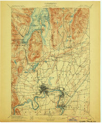
1897 Map of Glens Falls
USGS Topo · Published 1906About this map
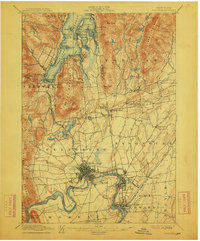
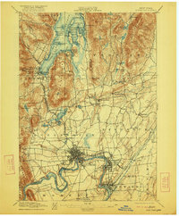
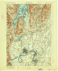
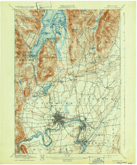
Glens Falls and the upper Hudson River corridor anchor this late 19th-century survey, revealing a landscape defined by the convergence of industrial growth and early tourism. The map illustrates the southern reaches of Lake George, detailing the established Steamboat Route and numerous named islands and bays such as Assembly Pt. and Kattskill Bay. Military history remains visible in the terrain, with labels marking the Fort Wm. Henry Ruins and Fort George Ruins near Caldwell.
Find a feature on this map
91 named features on this map. Tap any name to fly to it.
Don’t see what you’re looking for? This feature index may not catch every label — zoom into the map to look around manually.
Map Details
Editions of this 1897 Glens Falls Map
9 editions found
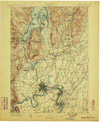
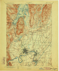
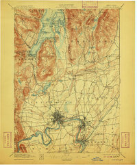
Other maps of this area

1893 · Fort Ann
USGS Topo · 1:62,500

1893 · Whitehall
USGS Topo · 1:62,500

1895 · Whitehall
USGS Topo · 1:62,500

1895 · North Creek
USGS Topo · 1:62,500

1895 · Cambridge
USGS Topo · 1:62,500

1895 · Fort Ann
USGS Topo · 1:62,500

1895 · Glens Falls
USGS Topo · 1:62,500

1897 · Bolton
USGS Topo · 1:62,500

1897 · Glens Falls
USGS Topo · 1:62,500

1897 · North Creek
USGS Topo · 1:62,500