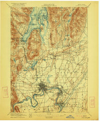
1897 Map of Glens Falls
USGS Topo · Published 1922About this map
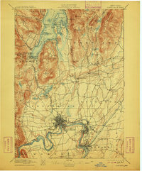
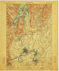
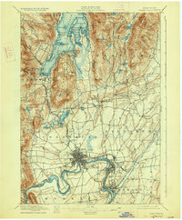
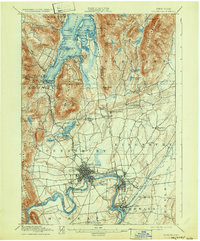
The upper Hudson River valley and the southern reaches of Lake George define this landscape, recorded during a period of established industrial and maritime activity. Military history remains visible on the terrain through the Fort Wm. Henry Ruins, Fort George Ruins, and Fort Gage Ruins near the settlement of Caldwell. This era shows a well-developed network of water-based transit, including the Steamboat Route navigating between islands like Diamond Id. and Long Id.. To the south, the industrial core of Glens Falls and South Glens Falls straddles the river, connected by the Delaware and Hudson R. R. and proximity to the Feeder Dam. Rural life in the surrounding townships is marked by small crossroads such as Pattens Mills and Griswolds Mills, while the rugged peaks of French Mountain and Pilot Knob overlook the developing valleys.
Find a feature on this map
96 named features on this map. Tap any name to fly to it.
Don’t see what you’re looking for? This feature index may not catch every label — zoom into the map to look around manually.
Map Details
Editions of this 1897 Glens Falls Map
9 editions found
Other maps of this area

1893 · Fort Ann
USGS Topo · 1:62,500

1893 · Whitehall
USGS Topo · 1:62,500

1895 · Whitehall
USGS Topo · 1:62,500

1895 · North Creek
USGS Topo · 1:62,500

1895 · Cambridge
USGS Topo · 1:62,500

1895 · Fort Ann
USGS Topo · 1:62,500

1895 · Glens Falls
USGS Topo · 1:62,500

1897 · Bolton
USGS Topo · 1:62,500

1897 · Glens Falls
USGS Topo · 1:62,500

1897 · North Creek
USGS Topo · 1:62,500