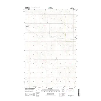
2014 Map of Glentana East
USGS Topo · Published 2014About this map
Glentana anchors this portion of the Montana plains, situated where the high prairie begins to drop into a network of drainage features. The landscape is defined by the sharp transition from tableland to the carved geography of Spring Coulee and Dolson Coulee. These natural drainages, including the East Fork Snow Coulee at the southern edge, dictate the local topography and the placement of the rural road network. The map reveals a structured grid of agricultural section lines and county roads, such as Zemliska Rd and Heckner Rd, which connect remote homesteads across the border of Valley and Daniels Counties. Major state routes like MT-248 and MT-438 provide the primary transit through this sparse, open region, highlighting the vast distances between northern Montana settlements.
Find a feature on this map
20 named features on this map. Tap any name to fly to it.
Don’t see what you’re looking for? This feature index may not catch every label — zoom into the map to look around manually.
Map Details
Editions of this 2014 Glentana East Map
This is the sole edition of this map. No revisions or reprints were ever made.
Other maps of this area

1954 · Glasgow
USGS Topo · 1:250,000

1957 · Glasgow
USGS Topo · 1:250,000

1958 · Glasgow
USGS Topo · 1:250,000

1973 · Glentana West
USGS Topo · 1:24,000

1973 · Larslan NW
USGS Topo · 1:24,000

1973 · Baylor NE
USGS Topo · 1:24,000

1973 · Brockway Spring
USGS Topo · 1:24,000

1973 · Johnnys Hill
USGS Topo · 1:24,000

1973 · Richland
USGS Topo · 1:24,000

1973 · Kaminski Hill
USGS Topo · 1:24,000