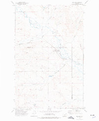
1973 Map of Richland
USGS Topo · Published 1976This historical map portrays the area of Richland in 1973, primarily covering Daniels County as well as portions of Valley County. Featuring a scale of 1:24000, this map provides a highly detailed snapshot of the terrain, roads, buildings, counties, and historical landmarks in the Richland region at the time. Published in 1976, it is the sole known edition of this map.
Map Details
Editions of this 1973 Richland Map
This is the sole edition of this map. No revisions or reprints were ever made.
Historical Maps of Daniels County Through Time
23 maps found
1973 Brockway Spring
Daniels County, MT
1973 Cabarett Coulee
Daniels County, MT
1973 Carbert
Daniels County, MT
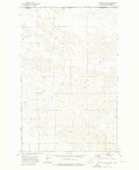
1973 Flaherty Coulee
Daniels County, MT
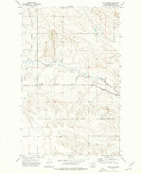
1973 Four Buttes
Daniels County, MT
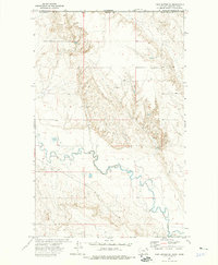
1973 Four Buttes NE
Daniels County, MT
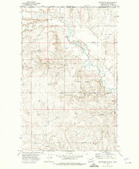
1973 Four Buttes NW
Daniels County, MT
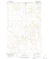
1973 Goodale Coulee
Daniels County, MT
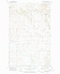
1973 Horseshoe Basin
Daniels County, MT
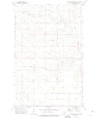
1973 Killenbeck Reservoir
Daniels County, MT
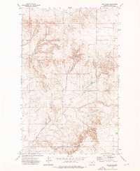
1973 Line Coulee
Daniels County, MT
1973 Madoc
Daniels County, MT
1973 Navajo
Daniels County, MT
1973 Pleasant Prairie NE
Daniels County, MT
1973 Pleasant Prairie NW
Daniels County, MT
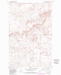
1973 Poplar Coulee
Daniels County, MT

1973 Richland
Daniels County, MT
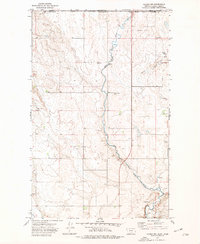
1973 Scobey NW
Daniels County, MT
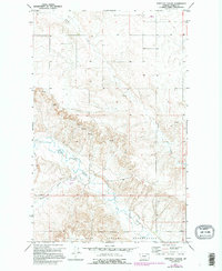
1973 Shipstead Coulee
Daniels County, MT
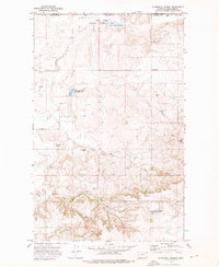
1973 Si Merrell Slough
Daniels County, MT
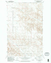
1973 South of Four Buttes
Daniels County, MT
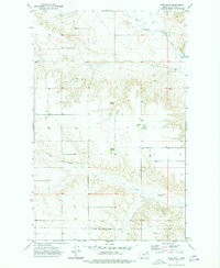
1973 West Fork
Daniels County, MT
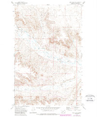
1973 West Fork NE
Daniels County, MT