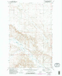
1973 Map of Shipstead Coulee
USGS Topo · Published 1995About this map
The Fort Peck Indian Reservation Boundary defines the southern portion of this landscape in Daniels County, where the plains meet the carved drainage systems of the Missouri River watershed. The terrain is characterized by the winding path of the Poplar River and its confluence with the West Fork Shipstead Coulee, a seasonal waterway that gives the quadrangle its name. This 1970s era documentation reveals a landscape primarily dedicated to large-scale dryland farming and ranching, evidenced by the scattered Grain Bins, Storage Bins, and isolated Well sites across the plateaus.
Find a feature on this map
13 named features on this map. Tap any name to fly to it.
Don’t see what you’re looking for? This feature index may not catch every label — zoom into the map to look around manually.
Map Details
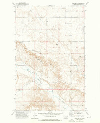
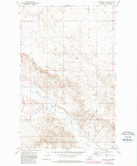
Editions of this 1973 Shipstead Coulee Map
3 editions found
Other maps of this area

1954 · Wolf Point
USGS Topo · 1:250,000

1958 · Wolf Point
USGS Topo · 1:250,000

1973 · Peerless 4 NE
USGS Topo · 1:24,000

1973 · West Fork NE
USGS Topo · 1:24,000

1973 · Peerless
USGS Topo · 1:24,000

1973 · Killenbeck Reservoir
USGS Topo · 1:24,000

1973 · Peerless 4 SE
USGS Topo · 1:24,000

1973 · Peerless 4 SW
USGS Topo · 1:24,000

1973 · Four Buttes
USGS Topo · 1:24,000

1973 · Poplar Coulee
USGS Topo · 1:24,000