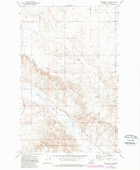
1973 Map of Peerless 4 NW
USGS Topo · Published 1989About this map
The Fort Peck Indian Reservation Boundary defines the southern portion of this landscape, marking a significant cultural and administrative line in Northeast Montana. The terrain is deeply etched by the meandering West Fork Poplar River, which is joined by several drainage systems including Police Creek and the starkly named Hell Creek. The presence of several Spring labels and the Shipstead Coulee underscores the vital role of water management in this high plains environment.
Find a feature on this map
12 named features on this map. Tap any name to fly to it.
Don’t see what you’re looking for? This feature index may not catch every label — zoom into the map to look around manually.
Map Details
Editions of this 1973 Peerless 4 NW Map
3 editions found
Other maps of this area

1954 · Wolf Point
USGS Topo · 1:250,000

1958 · Wolf Point
USGS Topo · 1:250,000

1973 · Peerless 4 NE
USGS Topo · 1:24,000

1973 · West Fork NE
USGS Topo · 1:24,000

1973 · Peerless
USGS Topo · 1:24,000

1973 · Killenbeck Reservoir
USGS Topo · 1:24,000

1973 · Peerless 4 SE
USGS Topo · 1:24,000

1973 · Peerless 4 SW
USGS Topo · 1:24,000

1973 · Four Buttes
USGS Topo · 1:24,000

1973 · Poplar Coulee
USGS Topo · 1:24,000