
1973 Map of Peerless 4 SW
USGS Topo · Published 1976About this map
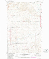
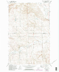
The West Fork Poplar River and Cottonwood Creek dominate this landscape within the boundary of the Fort Peck Indian Reservation. This 1973 survey illustrates a rural terrain defined by agricultural activity and infrastructure, notably marked by multiple sets of Storage Bins used for local grain production. The map also delineates the precise border between Daniels County and Roosevelt County, which bisects the quadrangle horizontally. Evidence of subsurface exploration appears at a Drill Hole located in the northern hills. The drainage patterns of the creeks and rivers reflect the natural topography of northeastern Montana before significant modern development, preserving the historical layout of ranching and farming fence lines that crisscross the plains.
Find a feature on this map
5 named features on this map. Tap any name to fly to it.
Don’t see what you’re looking for? This feature index may not catch every label — zoom into the map to look around manually.
Map Details
Editions of this 1973 Peerless 4 SW Map
3 editions found
Other maps of this area

1910 · Todd Lakes
USGS Topo · 1:62,500

1915 · Tule Valley
USGS Topo · 1:62,500

1915 · Todd Lakes
USGS Topo · 1:62,500

1954 · Wolf Point
USGS Topo · 1:250,000

1958 · Wolf Point
USGS Topo · 1:250,000

1973 · Peerless 4 NE
USGS Topo · 1:24,000

1973 · West Fork NE
USGS Topo · 1:24,000

1973 · Peerless 4 SE
USGS Topo · 1:24,000

1973 · Poplar Coulee
USGS Topo · 1:24,000
1973 · Peerless 4 NW
USGS Topo · 1:24,000