
1973 Map of Poplar Coulee
USGS Topo · Published 1976About this map
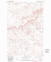
Shipstead Coulee and Poplar Coulee carve through the high plains of northeast Montana, marking a landscape defined by intermittent drainage and subtle water sources. This 1973 field-checked survey reveals a remote topography where the presence of a single Spring or cluster of Springs served as a critical landmark for ranching and land management. The map sits at a geographical crossroads, depicting the intersection of Daniels, Valley, and Roosevelt counties within the Fort Peck Indian Reservation.
Find a feature on this map
10 named features on this map. Tap any name to fly to it.
Don’t see what you’re looking for? This feature index may not catch every label — zoom into the map to look around manually.
Map Details
Editions of this 1973 Poplar Coulee Map
2 editions found
Other maps of this area

1910 · Todd Lakes
USGS Topo · 1:62,500

1915 · Tule Valley
USGS Topo · 1:62,500

1915 · Todd Lakes
USGS Topo · 1:62,500

1954 · Wolf Point
USGS Topo · 1:250,000

1958 · Wolf Point
USGS Topo · 1:250,000

1973 · West Fork NE
USGS Topo · 1:24,000

1973 · Haugens Hill
USGS Topo · 1:24,000

1973 · Peerless 4 SW
USGS Topo · 1:24,000
1973 · West Fork
USGS Topo · 1:24,000
1973 · Peerless 4 NW
USGS Topo · 1:24,000