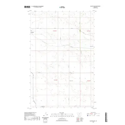
2020 Map of Glentana East
USGS Topo · Published 2020About this map
The small community of Glentana sits at the edge of this northeastern Montana landscape, where the high plains are carved by a network of drainage coulees. As of 2020, the area remains defined by large-scale agricultural blocks and a grid of rural section roads, many of which carry the names of local families who settled this part of the Big Sky country. Key topographic features include the winding Spring Coulee in the northeast and Dolson Coulee near the center, while the south is marked by the headwaters of the East Fork Snow Coulee. The map shows a clear transition of jurisdictional responsibility at the border of Valley and Daniels counties. Transportation is anchored by Rte 248 and the Glentana-Nashua Rd, providing essential links between the isolated farmsteads and distant trading centers.
Find a feature on this map
21 named features on this map. Tap any name to fly to it.
Don’t see what you’re looking for? This feature index may not catch every label — zoom into the map to look around manually.
Map Details
Editions of this 2020 Glentana East Map
This is the sole edition of this map. No revisions or reprints were ever made.
Other maps of this area

1954 · Glasgow
USGS Topo · 1:250,000

1957 · Glasgow
USGS Topo · 1:250,000

1958 · Glasgow
USGS Topo · 1:250,000

1973 · Glentana West
USGS Topo · 1:24,000

1973 · Larslan NW
USGS Topo · 1:24,000

1973 · Baylor NE
USGS Topo · 1:24,000

1973 · Brockway Spring
USGS Topo · 1:24,000

1973 · Johnnys Hill
USGS Topo · 1:24,000

1973 · Richland
USGS Topo · 1:24,000

1973 · Kaminski Hill
USGS Topo · 1:24,000