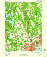
1951 Map of Glenville
USGS Topo · Published 1959About this map
Port Chester and the surrounding borderlands between New York and Connecticut exhibit a landscape defined by postwar suburban expansion and established institutional estates. The Byram River winds through the heart of the region, passing the industrial and residential centers of Glenville and Pemberwick. To the west, the massive footprint of the Westchester Airport and its associated Radio Range Sta signify the era's growing aviation infrastructure. The map reveals an area rich in private social and religious institutions, such as the Convent of the Sacred Heart, St Lukes Hospital, and numerous golf clubs including Old Oaks Country Club. North of the dense developments, the landscape is punctuated by large bodies of water like Rye Lake and Putnam Lake, interspersed with historic burying grounds such as Quaker Ridge Cem and Baptist Cem.
Find a feature on this map
101 named features on this map. Tap any name to fly to it.
Don’t see what you’re looking for? This feature index may not catch every label — zoom into the map to look around manually.
Map Details
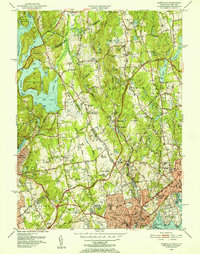
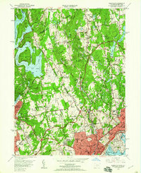
Editions of this 1951 Glenville Map
3 editions found
Other maps of this area

1891 · Harlem
USGS Topo · 1:62,500

1892 · Stamford
USGS Topo · 1:62,500

1892 · Tarrytown
USGS Topo · 1:62,500

1893 · Stamford
USGS Topo · 1:62,500

1893 · Tarrytown
USGS Topo · 1:62,500

1897 · Harlem
USGS Topo · 1:62,500

1897 · Oyster Bay
USGS Topo · 1:62,500

1898 · Harlem
USGS Topo · 1:62,500

1898 · Oyster Bay
USGS Topo · 1:62,500

1899 · Stamford
USGS Topo · 1:62,500