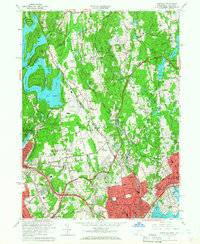
1960 Map of Glenville
USGS Topo · Published 1966About this map
The borderlands of New York and Connecticut appear here as a landscape of established estates, institutions, and expanding post-war infrastructure. Westchester Airport and Manhattanville College dominate the central terrain, while the eastern edge is defined by the developed suburban centers of Port Chester and Greenwich. The topography is characterized by a series of north-south ridges like Quaker Ridge and Round Hill, separated by waterways such as the Byram River and Blind Brook. The era's transportation network is prominently featured, including the Merritt Parkway and the Cross Westchester Expressway winding through the countryside. Long-standing local institutions are well-documented, from the Convent of the Sacred Heart to the Audubon Center, alongside numerous recreational landmarks like the Blind Brook Polo Club and Century Country Club. The map provides a detailed view of the Kensico Reservoir and its various inlets, including Bear Gutter Inlet and Webers Cove, illustrating the vital water infrastructure of the period.
Find a feature on this map
103 named features on this map. Tap any name to fly to it.
Don’t see what you’re looking for? This feature index may not catch every label — zoom into the map to look around manually.
Map Details
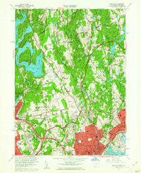
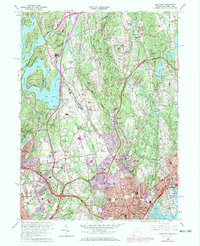
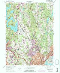
Editions of this 1960 Glenville Map
4 editions found
Other maps of this area

1891 · Harlem
USGS Topo · 1:62,500

1892 · Stamford
USGS Topo · 1:62,500

1892 · Tarrytown
USGS Topo · 1:62,500

1893 · Stamford
USGS Topo · 1:62,500

1893 · Tarrytown
USGS Topo · 1:62,500

1897 · Harlem
USGS Topo · 1:62,500

1897 · Oyster Bay
USGS Topo · 1:62,500

1898 · Harlem
USGS Topo · 1:62,500

1898 · Oyster Bay
USGS Topo · 1:62,500

1899 · Stamford
USGS Topo · 1:62,500