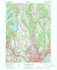
1960 Map of Glenville
USGS Topo · Published 1973About this map
The Westchester Co Fairfield Co line anchors this study of the suburbanizing border between New York and Connecticut. Following 1971 revisions, the landscape shows the rapid expansion of residential and institutional development, particularly around the campus of Manhattanville College and major medical centers like St Lukes Hospital. Large tracts of land remain dedicated to country clubs and schools, such as the Convent of the Sacred Heart and the Blind Brook Country Club, highlighting the region's mid-century character as an affluent residential corridor.
Find a feature on this map
98 named features on this map. Tap any name to fly to it.
Don’t see what you’re looking for? This feature index may not catch every label — zoom into the map to look around manually.
Map Details
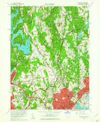
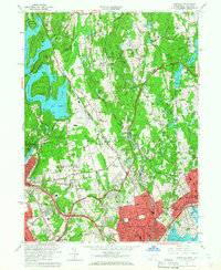
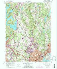
Editions of this 1960 Glenville Map
4 editions found
Other maps of this area

1891 · Harlem
USGS Topo · 1:62,500

1892 · Stamford
USGS Topo · 1:62,500

1892 · Tarrytown
USGS Topo · 1:62,500

1893 · Stamford
USGS Topo · 1:62,500

1893 · Tarrytown
USGS Topo · 1:62,500

1897 · Harlem
USGS Topo · 1:62,500

1897 · Oyster Bay
USGS Topo · 1:62,500

1898 · Harlem
USGS Topo · 1:62,500

1898 · Oyster Bay
USGS Topo · 1:62,500

1899 · Stamford
USGS Topo · 1:62,500