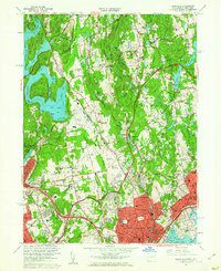
1960 Map of Glenville
USGS Topo · Published 1962About this map
The New York Connecticut border divides a landscape defined by postwar suburban expansion and institutional growth. On the New York side, the expansive Kensico Reservoir and Rye Lake dominate the western edge, while the industrial and residential core of Port Chester anchors the south. The period is marked by major transportation infrastructure, including the newly revised routes of the Merritt Parkway and the Cross Westchester Expressway, which wrap around substantial educational and social institutions like Manhattanville College and the Convent of the Sacred Heart.
Find a feature on this map
92 named features on this map. Tap any name to fly to it.
Don’t see what you’re looking for? This feature index may not catch every label — zoom into the map to look around manually.
Map Details
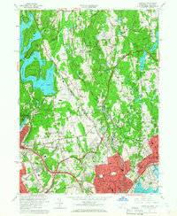
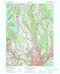
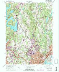
Editions of this 1960 Glenville Map
4 editions found
Other maps of this area

1891 · Harlem
USGS Topo · 1:62,500

1892 · Stamford
USGS Topo · 1:62,500

1892 · Tarrytown
USGS Topo · 1:62,500

1893 · Stamford
USGS Topo · 1:62,500

1893 · Tarrytown
USGS Topo · 1:62,500

1897 · Harlem
USGS Topo · 1:62,500

1897 · Oyster Bay
USGS Topo · 1:62,500

1898 · Harlem
USGS Topo · 1:62,500

1898 · Oyster Bay
USGS Topo · 1:62,500

1899 · Stamford
USGS Topo · 1:62,500