2022 Map of Glenville
USGS Topo · Published 2022About this map
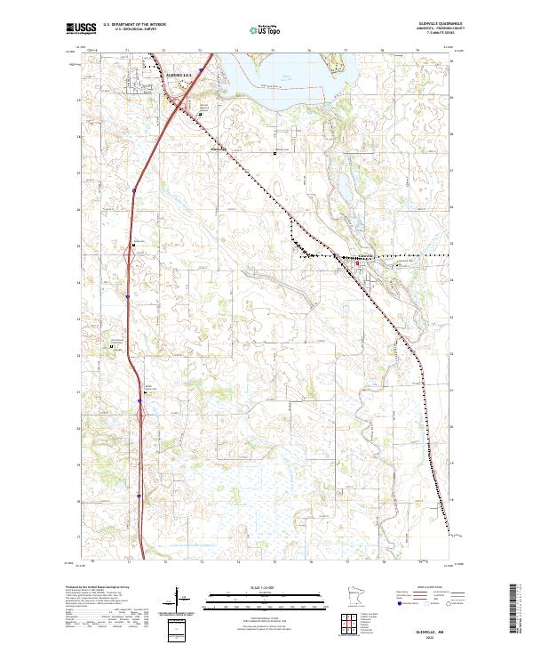
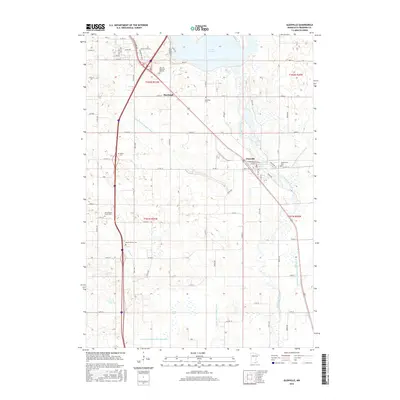
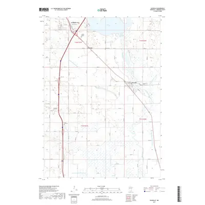
Albert Lea Lake and the Shell Rock River dominate this southern Minnesota landscape, where the waters are managed by an extensive network of drainage infrastructure. Numerous county ditches, including County Ditch Number Sixteen and County Ditch Number Forty, illustrate the engineered nature of the regional hydrology. The town of Glenville serves as a local hub near the confluence of the river and Judicial Ditch Number Twenty, while the southern reaches of Albert Lea appear in the northwest. For genealogists and local historians, the sheet is particularly valuable for its documentation of rural burial sites, featuring Hillcrest Memorial Gardens, Green Cem, and the dual North Round Prairie Cem and Round Prairie Cem. The presence of these cemeteries alongside small settlements like Murtaugh preserves the legacy of early Freeborn County townships.
Find a feature on this map
53 named features on this map. Tap any name to fly to it.
Don’t see what you’re looking for? This feature index may not catch every label — zoom into the map to look around manually.
Map Details
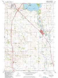
Editions of this 2022 Glenville Map
This is the sole edition of this map. No revisions or reprints were ever made.
Historical Maps of Albert Lea Through Time
6 maps found
Featured Locations
- Albert Lea, MN
- Glenville, MN
- Gordonsville, MN
- Rainbow Terrace Mobile Home Park, Albert Lea
- Stoney Creek Estates, Albert Lea