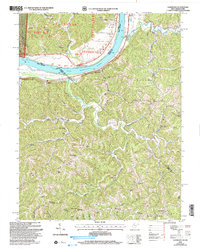
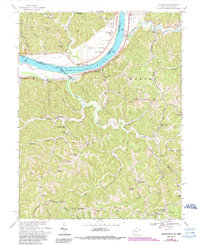
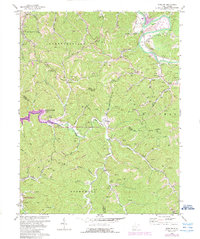
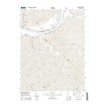
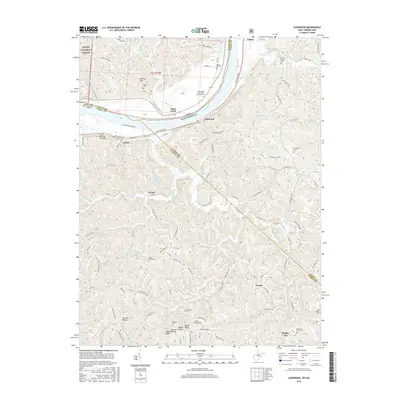
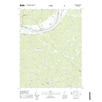
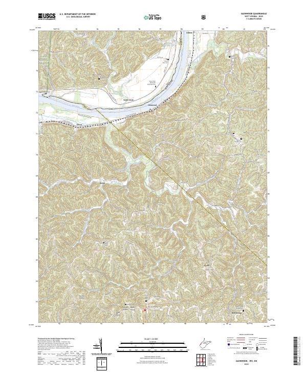
2002 Map of Glenwood
USGS Topo · Published 2006About this map
The Ohio River forms the defining boundary of this West Virginia landscape, where the communities of Glenwood and Ashton sit along the narrow river valley before the terrain rises sharply into the ridges. This survey reflects the rural settlement patterns along the river and its many tributaries, such as Eighteenmile Creek and Guyan Creek. Local history is deeply etched into the topography through numerous community landmarks, including Moores Chapel, Mt Zion Ch, and Sunrise Ch, along with the Swan Creek Sch. The interior is characterized by significant relief, with Hannah Ridge and Barker Ridge overlooking narrow hollows like Big Hill Hollow. The map provides a detailed view of the infrastructure supporting these small communities, from the Scenic River Road to the numerous smaller settlements like Clover and Gwinn that follow the creek beds.
Find a feature on this map
48 named features on this map. Tap any name to fly to it.
Don’t see what you’re looking for? This feature index may not catch every label — zoom into the map to look around manually.
Map Details
Editions of this 2002 Glenwood Map
This is the sole edition of this map. No revisions or reprints were ever made.
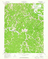
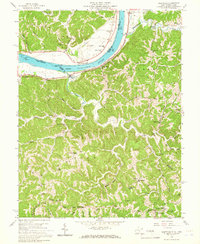
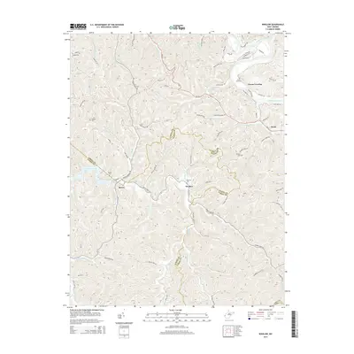
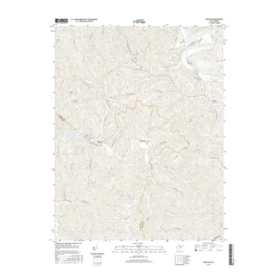
Historical Maps of Dudley Gap Through Time
17 maps found

1901 Guyandot
Cabell County, WV
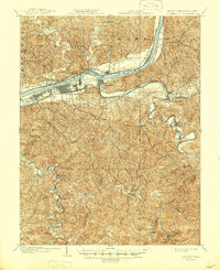
1902 Guyandot
Cabell County, WV
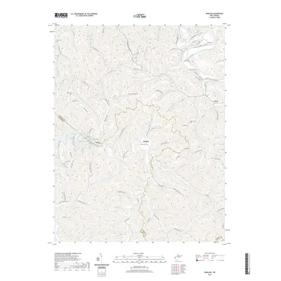
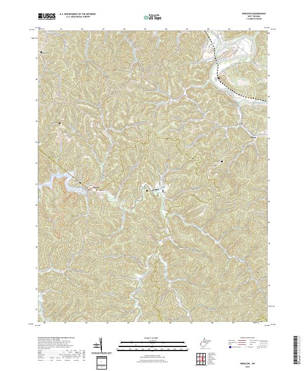
1957 Winslow
Cabell County, WV
1958 Glenwood
Cabell County, WV
1968 Glenwood
Cabell County, WV
1972 Winslow
Cabell County, WV
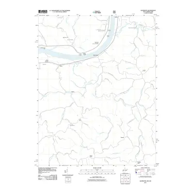
2002 Glenwood
Cabell County, WV
2011 Glenwood
Cabell County, WV
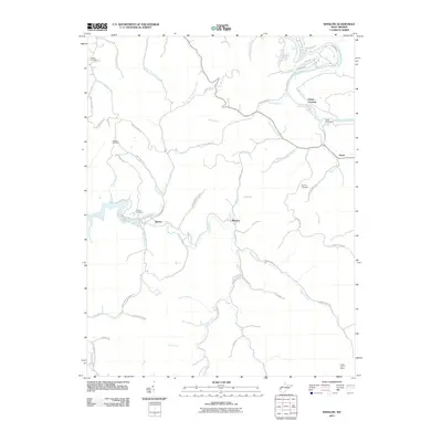
2011 Winslow
Cabell County, WV
2014 Glenwood
Cabell County, WV
2014 Winslow
Cabell County, WV
2016 Glenwood
Cabell County, WV
2016 Winslow
Cabell County, WV
2019 Glenwood
Cabell County, WV
2019 Winslow
Cabell County, WV
2023 Glenwood
Cabell County, WV
2023 Winslow
Cabell County, WV