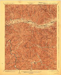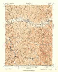
1931 Map of Milton
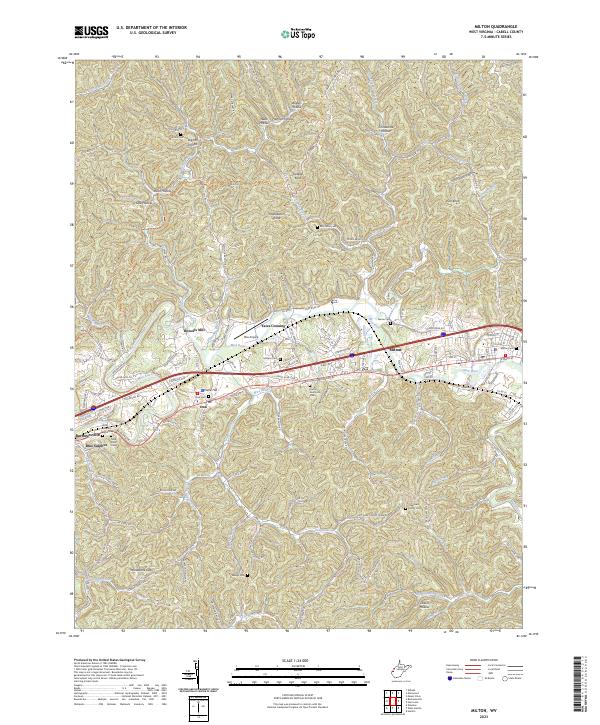
USGS Topo · Published 1963About this map
The Mud River and Guyandot River valleys anchor this survey, revealing the early 20th-century settlement patterns of western West Virginia. In this era, small rural nodes like Milton, Culloden, and Hamlin were connected by the Chesapeake and Ohio railroad, which follows the broad Teays Valley. Away from the rail lines, the landscape is defined by an intricate network of hollows and ridges, such as Gobbler Knob and Rich Knob, where community life centered on one-room schoolhouses and country churches.
Find a feature on this map
198 named features on this map. Tap any name to fly to it.
Don’t see what you’re looking for? This feature index may not catch every label — zoom into the map to look around manually.
Map Details
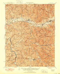
Editions of this 1931 Milton Map
This is the sole edition of this map. No revisions or reprints were ever made.
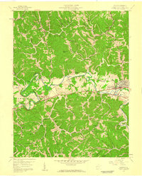
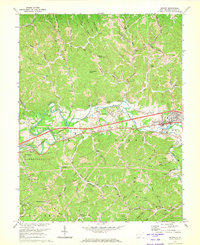
Historical Maps of Hurricane Through Time
6 maps found