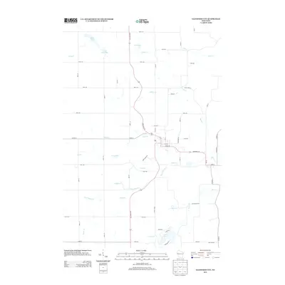
2013 Map of Glenwood City
USGS Topo · Published 2013About this map
State Road 128 and State Road 170 intersect near the heart of this Saint Croix County landscape, where the town grid of Glenwood City meets a complex network of waterways. The geography is defined by the convergence of several major drainage systems, including the branching paths of Tiffany Cr and South Tiffany Cr. This 2013 survey illustrates how modern infrastructure has adapted to the wet terrain, with several designated reservoirs, including 1 Reservoir and 2 Reservoir, managing the flow of local creeks.
Find a feature on this map
51 named features on this map. Tap any name to fly to it.
Don’t see what you’re looking for? This feature index may not catch every label — zoom into the map to look around manually.
Map Details
Editions of this 2013 Glenwood City Map
This is the sole edition of this map. No revisions or reprints were ever made.
Other maps of this area

1946 · Knapp
USGS Topo · 1:62,500

1948 · Downing
USGS Topo · 1:62,500

1949 · Knapp
USGS Topo · 1:62,500

1949 · Baldwin
USGS Topo · 1:62,500

1950 · Downing
USGS Topo · 1:62,500

1950 · Deer Park
USGS Topo · 1:62,500

1953 · Saint Paul
USGS Topo · 1:250,000

1953 · Stillwater
USGS Topo · 1:250,000

1955 · Stillwater
USGS Topo · 1:250,000

1958 · Stillwater
USGS Topo · 1:250,000