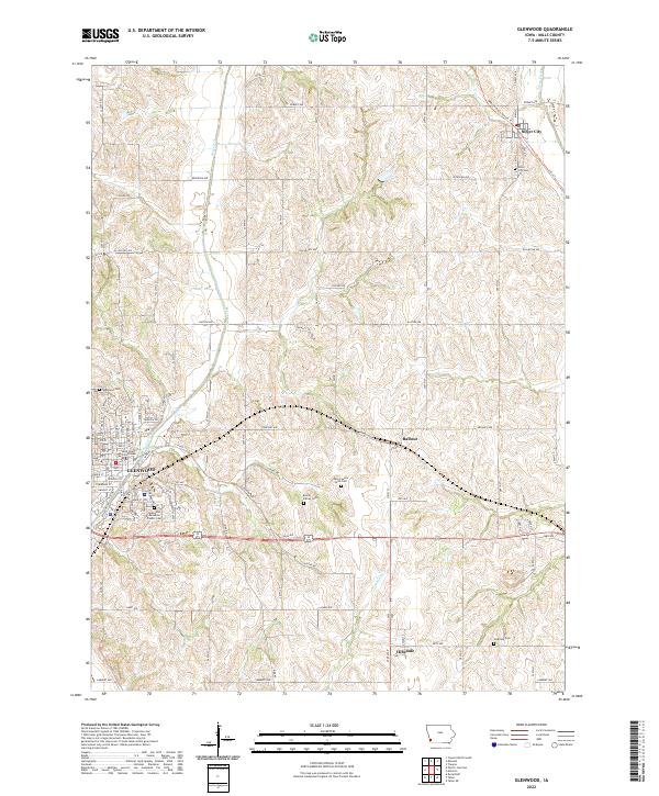
2022 Map of Glenwood
USGS Topo · Published 2022About this map
The Mills County Courthouse stands as a central landmark in Glenwood, a town defined by its hilly landscape and historic institutional sites. To the south of the town center, the Glenwood Resource Center Cem and Glenwood Cem occupy elevated positions above Keg Creek. The map reveals a high density of small family and institutional burial grounds, including the Bomar Family Cem and the Mills County Farm Cem, which reflect the long-standing agricultural and social history of the region.
Find a feature on this map
48 named features on this map. Tap any name to fly to it.
Don’t see what you’re looking for? This feature index may not catch every label — zoom into the map to look around manually.
Map Details
Editions of this 2022 Glenwood Map
This is the sole edition of this map. No revisions or reprints were ever made.
Other maps of this area

1935 · Nehawka
USGS Topo · 1:48,000

1940 · Nehawka
USGS Topo · 1:62,500

1954 · Omaha
USGS Topo · 1:250,000

1955 · Nebraska City
USGS Topo · 1:250,000

1956 · Glenwood
USGS Topo · 1:24,000

1956 · Mineola
USGS Topo · 1:24,000

1956 · Rock Bluff
USGS Topo · 1:24,000

1956 · Pacific Junction
USGS Topo · 1:24,000

1956 · Treynor
USGS Topo · 1:24,000

1956 · Council Bluffs South
USGS Topo · 1:24,000