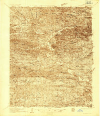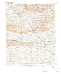
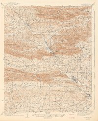
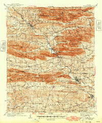
1942 Map of Glenwood
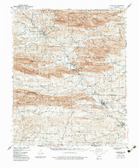
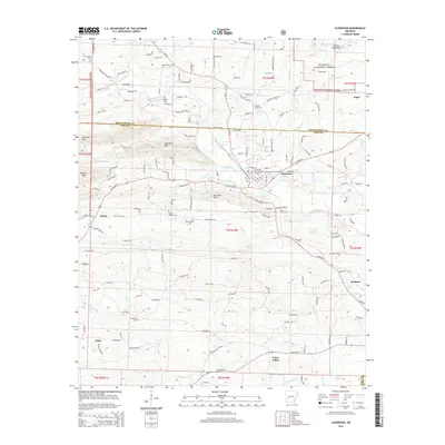
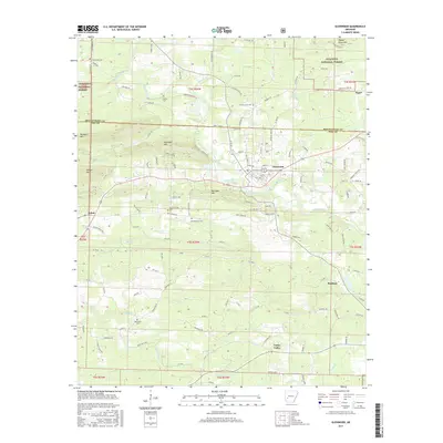
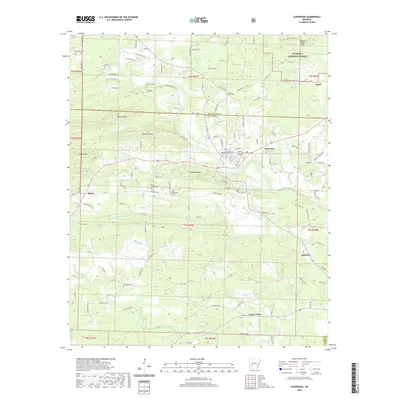
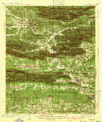
USGS Topo · Published 1975About this map
Crystal Mountains and the Cossatot Mountains define the topography of this region, where the Caddo River carves through the Ouachita foothills during the mid-1930s. The Missouri Pacific railroad serves as a vital corridor, connecting riverside settlements like Caddo Gap and Glenwood. This survey captures a network of rural institutions, from the Womble Ranger Sta near Norman to numerous mountain schools and churches like Caddo Hill Sch and Oak Grove Ch. The landscape is a patchwork of ridges and hollows, where family-named landmarks like Beck Mtn and Nelson Mtn overlook small valley communities. The southern reaches near Kirby and Rosboro transition into the Antoine Mountains, showing a reliance on both timber and river-bottom agriculture before modern development altered the rural character of Montgomery and Pike counties.
Find a feature on this map
90 named features on this map. Tap any name to fly to it.
Don’t see what you’re looking for? This feature index may not catch every label — zoom into the map to look around manually.
Map Details
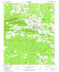
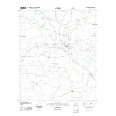
Editions of this 1942 Glenwood Map
4 editions found
Historical Maps of Norman Through Time
9 maps found