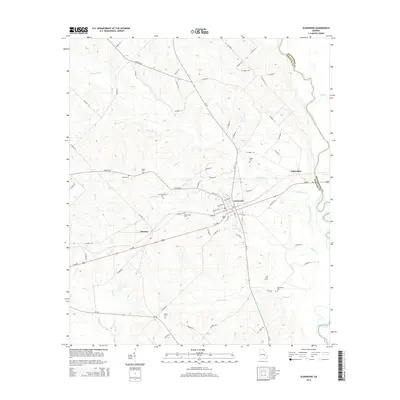
2014 Map of Glenwood
USGS Topo · Published 2014About this map
Glenwood serves as the central hub of this South Georgia landscape, situated at the crossroads of Ga-19 and Us-280. The terrain is defined by the winding course of the Oconee River along the eastern boundary, where it forms the natural border between Wheeler and Montgomery counties. Smaller watercourses like Ochwalkee Cr and Peterson Cr drain the surrounding countryside, which is dotted with numerous family and community landmarks that offer significant value for genealogical research.
Find a feature on this map
72 named features on this map. Tap any name to fly to it.
Don’t see what you’re looking for? This feature index may not catch every label — zoom into the map to look around manually.
Map Details
Editions of this 2014 Glenwood Map
This is the sole edition of this map. No revisions or reprints were ever made.
Other maps of this area

1957 · Macon
USGS Topo · 1:250,000

1958 · Macon
USGS Topo · 1:250,000

1964 · Macon
USGS Topo · 1:250,000

1970 · Scotland
USGS Topo · 1:24,000

1970 · Glenwood
USGS Topo · 1:24,000

1970 · Alamo
USGS Topo · 1:24,000

1970 · Mount Vernon
USGS Topo · 1:24,000

1970 · Uvalda
USGS Topo · 1:24,000

1970 · Jordan
USGS Topo · 1:24,000

1971 · Soperton South
USGS Topo · 1:24,000